
What is recorded here
In an area of improved pastureland and outcropping limestone. A small subcircular enclosure (8.3m E-W; 7.5m N-S) is defined by bank (Wth 1.5m; H 0.3m). A gap at NW may mark the original entrance. This may be a house site associated with the ecclesiastical enclosure (GA104-015004-) c. 12m to its W (pers. comm. Prof. E. Rynne December 1983). The area is densely overgrown with thorn bushes.
Compiled by: Galway Archaeological Survey, UCG
Date of upload: 17 January 2020
The monument record does not grant public access. Check the route and ask the landowner before entering private land.
- What survives
- Recorded monument
Places near here
 CaveMan-made underground passage · 272 yd
 Field system in Ballybaun (dunkellin By.)Field system · 635 yd
 Cregaclarefarmyard complex · 1236 yd
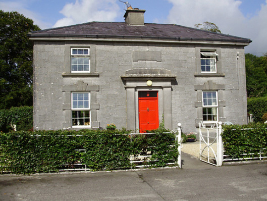 Castle Taylorsteward's house · 1237 yd
 Cloghroak Castle (in ruins)Castle, tower house · 1.2 mi
 Castle (in ruins)Castle, Anglo-Norman masonry castle · 1.2 mi
 Drumharsna CastleHeritage attraction · 3.1 mi
 HawthornHawthorn · 3.9 mi
 European ashEuropean ash · 3.9 mi
 Drumacoo Monastic SiteHeritage attraction · 5.4 mi
 Mulroney's IslandIslet · 6.8 mi
 Mweenish PointHeadland · 8.0 mi
Other information
Photo: Credit not shown in the picture search · Rights wording not checked; contact us if this picture should be removed