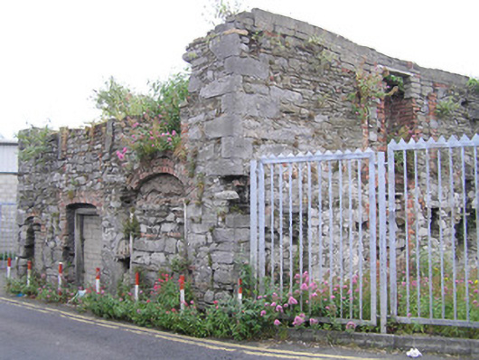
What is recorded here
Detached square-plan roofless rubble limestone structure, built c. 1500s, facing west with a three-bay street-fronted elevation cropped to first floor level with a section of first floor elevation surviving to south and much of north and south-facing side elevations remaining. Large roughly squared quoins to south corner of façade and south-facing side elevation. Multiple-bay two-storey coursed rubble limestone south-facing side elevation with squared rubble stone ground floor level changing at first floor level where stones are laid on the flat. Concrete block courses terminate first floor level. Random rubble stone walls with in and out squared and tooled limestone quoins. Several camber- and segmental-headed window and door openings to west and south elevations, now mostly blocked-up, with the north elevation having the most intact late medieval façade. To west (street-facing) elevation there is a blocked-up red brick camber-arched opening and a three-centred arched openings both of later origins. Lower sections of window surround uprights, possibly original, also survive. To south elevation is a roughly carved limestone window frame with limestone slab voussoirs above. Also to south elevation are a number of red brick arched and framed openings of more modern origins. Two red brick openings may originally have formed chimneystack. The north elevation is the most intact with limestone surrounds to openings with limestone flag voussoirs. One bay possibly formally composed, is composed of a blocked-up round-arch door opening with arch formed of a single carved limestone having a squared limestone frame above and limestone relieving arch surmounted by bricked-up window opening with limestone surround and central mullion. The east elevation appears to be a party wall or masonry internal dividing wall, which has one red brick formed segmental-arch opening. Limited internal access has revealed limestone corbels, which once supported floor beams.
Reports suggest that this site is a terrace of three-storey buildings of late medieval origins, which had a secular use, and may have been an almshouse. No reference is made on the Civil Survey, however, to an almshouse in this location. The stone structure is in poor repair but retains a number of quite significant elements including: limestone mullioned window frames, round-arch door openings and limestone corbels. This site is of great importance, as one of the few known above ground late medieval remains of secular architecture in this historic part of the city. Broad Street was once the main thoroughfare linking Mary Street (called High Street when recorded on a Map prepared by Westropp in 1919 of Limerick c. 1690) on King’s Island with Irish Town and John's Gate, where the citadel was located. Curry Lane (referred to as Curry's on 1872 Ordnance Survey was roughly parallel with Broad Street to the east, and further east the medieval town walls ran roughly parallel to both streets. Another Curry Lane, now demolished, ran perpendicular to the other Curry Lane. Still surviving today on Broad Street are a number of distinctly medieval narrow lanes such as Joynt’s Lane, which link with Curry Lane. This structure in fact, would appear to have been once located at the junction of Curry Lane (or Curry's Lane) and the Curry Lane, which ran perpendicular to the west.
This does not grant access. Most recorded buildings are privately owned; view them only from public ground unless the owner allows entry.
Places near here
 IndicatedHouse, indeterminate date · 42 yd
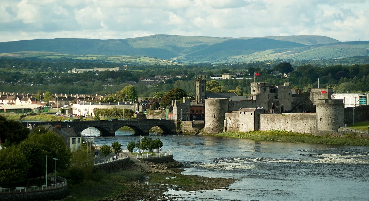 CastleCastle, unclassified · 103 yd
 Ball's Bridgebridge · 128 yd
 Burial ground in Limerick City,saint Francis AbbeyBurial ground · 162 yd
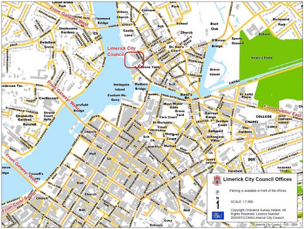 Grave YardGraveyard · 228 yd
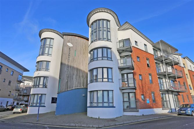 Grove IslandIslet · 266 yd
 OutlinedCastle, tower house · 307 yd
 Siege of Limericksiege · 354 yd
 Hunt MuseumMuseum · 406 yd
 Bourke HouseHeritage attraction · 409 yd
 Sarsfield Memorialmonument · 427 yd
 The Singer from QuimperMemorial · 499 yd
Other information
Photo: National Inventory of Architectural Heritage · Website use allowed for educational or private purposes with source credit