What is recorded here
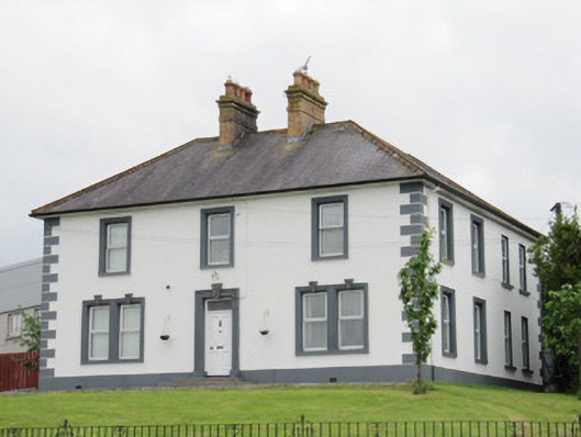
Detached L-plan three-bay two-storey house, built c.1930, having full-height two-bay return to west side of rear (south) elevation, and recent canopy to east side of return. Hipped slate roofs, paired yellow brick chimneystacks with decorative cornices and terracotta pots, and terracotta ridge tiles. Lined-and-ruled rendered walls, render quoins and plinth course. Square-headed window openings, with replacement uPVC windows and painted sills throughout, having moulded render surrounds to front and side elevations, paired and with decorative pebbled keystones to ground floor front elevation. Square-headed door opening with moulded render surround with decorative pebbled keystone, timber panelled door, plain overlight, and render steps with cast-iron bootscrape. Set back from road at junction. Square-plan rendered piers with channelled quoins to site entrance to north-east of house. Creamery buildings opposite.
Similar to the nearby house at Annahaia, this is a twentieth-century building which used traditional forms to create a pleasing structure in the landscape, with the paired yellow brick chimneystacks and render dressings making this an attractive feature in the Lough Egish area. The combination of lined-and-ruled render and moulded window dressings and quoins imitate the stonework of more prestigious buildings, enhance the formal proportions of the house, and provide textural interest. The continuation of the traditional symmetrical three-bay two-storey domestic form is an interesting contrast with the long low elevations and more pared back decoration of the other twentieth century buildings nearby, particularly the Lough Egish creamery across the road.
This does not grant access. Most recorded buildings are privately owned; view them only from public ground unless the owner allows entry.
Places near here
 Lough Egish IslandIslet · 585 yd
 Catholic Church of the Sacred Heartchurch/chapel · 944 yd
 IllanshivansIslet · 1031 yd
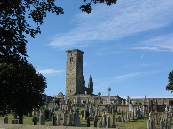 Grave YardGraveyard · 1126 yd
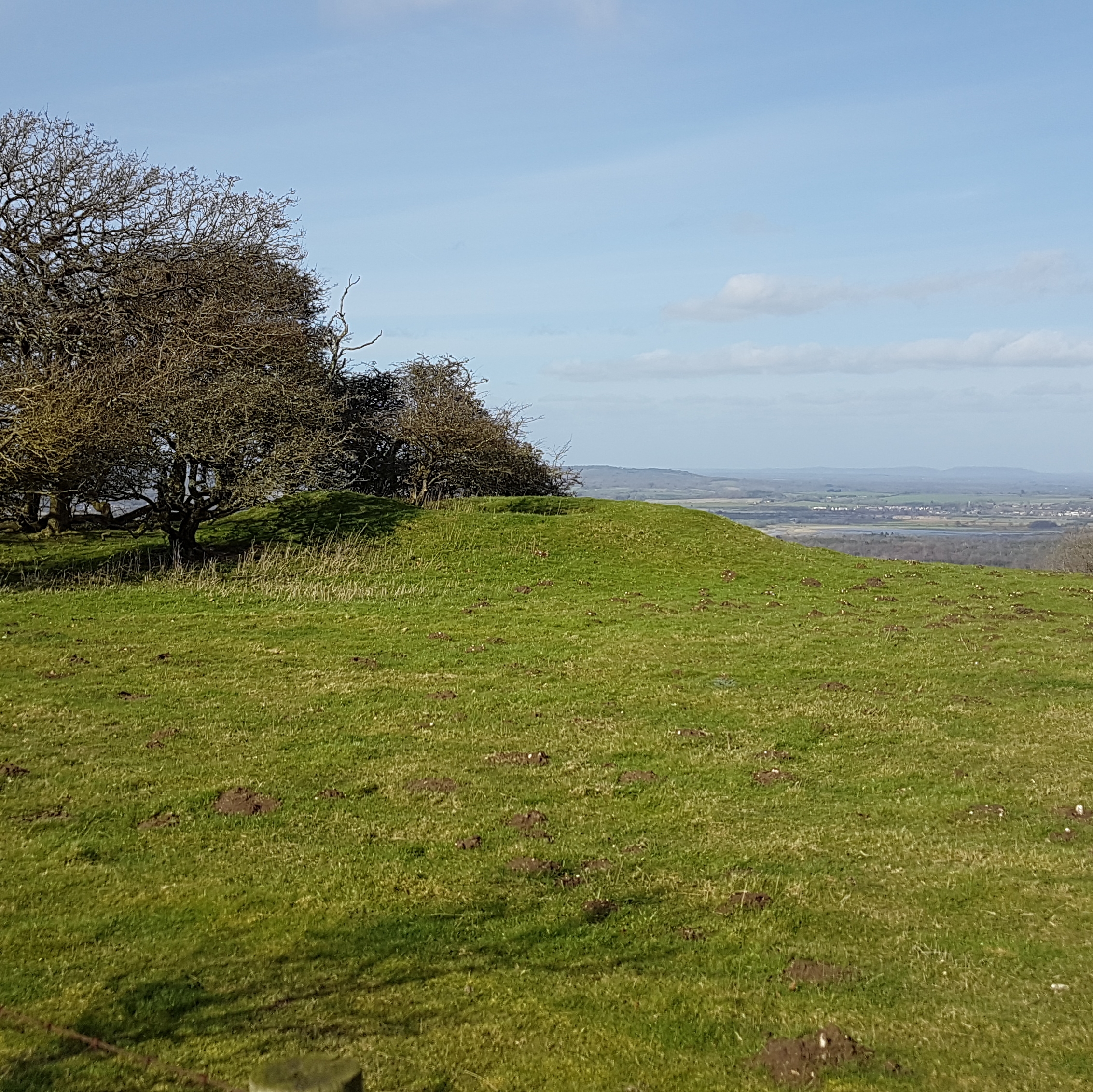 BarrowBarrow, ring-barrow · 1627 yd
 presbytery/parochial/curate's housepresbytery/parochial/curate's house · 1692 yd
 Tally WoodWood · 1.5 mi
 Fincarn HillMountain / peak · 2.9 mi
 Monaghan WayWalking route · 4.4 mi
 TobernagalliaghSpring · 4.6 mi
 The CrescentMemorial · 4.6 mi
 Laragh WoodForest · 4.8 mi
Other information
Photo: National Inventory of Architectural Heritage · Website use allowed for educational or private purposes with source credit