What is recorded here
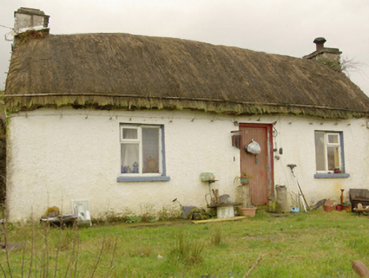
Detached three-bay single-storey vernacular house, built c. 1860 and altered c. 1970, having extension to the rear (north-west). Pitched straw thatched roof with rendered chimneystacks to gable ends (north-east and south-west) and having metal pegs (for securing ropes over roof) below eaves level to main elevation and to the gable ends. Roughcast rendered walls. Square-headed window openings (enlarged) having replacement timber casement windows. Central square-headed doorway to the main elevation (south-east) having timber battened door. Set well back from road on sloping site in the rural landscape to the north of Killybegs. Long approach avenue to house from the north-west.
Despite some alterations, this thatched vernacular house retains much of its early form and character, and is an appealing feature in the rural landscape to the north of Killybegs. Modest in scale, it exhibits the simple and functional form of vernacular building in Ireland. Of particular interest in the survival of the thatch roof, which is now sadly becoming increasingly rare in Donegal. The rounded roof is a typical feature of thatched houses located close to the sea in exposed areas in the north-west of Ireland, while the metal pegs to the eaves were used to tie ropes (and sometimes nets) over the roof to secure it against the prevailing winds, as is the case here at Carrickamoghill. The form of this building having chimneystacks to the gable ends suggests that this building is of the ‘direct entry’ type that is characteristic of the vernacular tradition in north-west Ireland. This house represents a good surviving example of a once ubiquitous building type in the rural Irish countryside, and is an integral element of the extensive vernacular heritage of County Donegal.
This does not grant access. Most recorded buildings are privately owned; view them only from public ground unless the owner allows entry.
Places near here
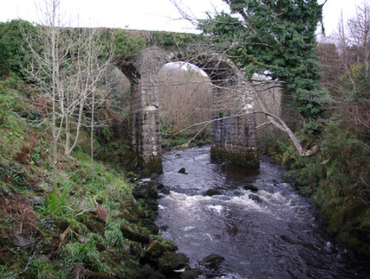 bridgebridge · 875 yd
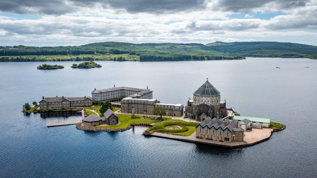 Corporation Stone RingfortFairy fort / stone ringfort · 1311 yd
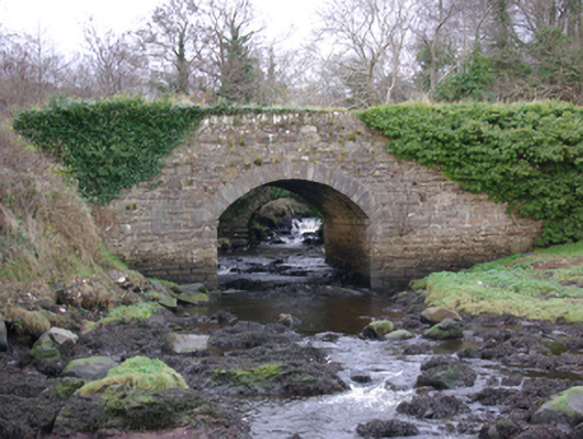 The Lough Head Bridgebridge · 1755 yd
 Cashelreagh Glebe Hilltop Stone FortFairy fort / stone ringfort · 1.4 mi
 European BeechEuropean Beech · 2.3 mi
 Bawn in KillybegsBawn · 2.4 mi
 Wych ElmWych Elm · 2.4 mi
 Cat CastleCastle, tower house · 2.7 mi
 Balbane HillMountain / peak · 2.7 mi
 Rashenny PointHeadland · 3.1 mi
 CrownaradMountain / peak · 3.1 mi
 Killaghtee Old Church GraveyardGraveyard · 3.2 mi
Other information
Photo: National Inventory of Architectural Heritage · Website use allowed for educational or private purposes with source credit