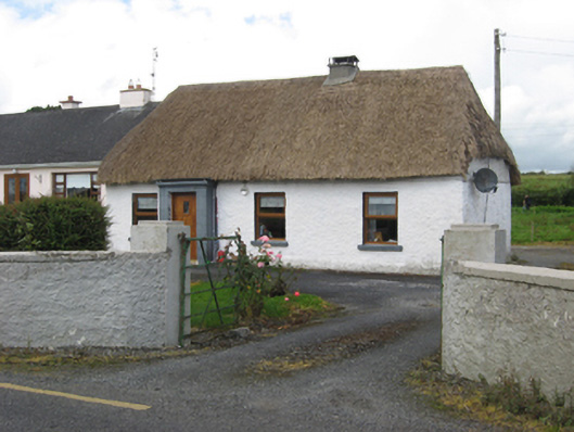
What is recorded here
Detached four-bay single-storey vernacular house, built c.1850 with windbreak to front (south) elevation, and with recent extension to rear. Hipped thatched roof with low cement rendered chimneystack. Roughcast rendered walls with smooth render to windbreak. Square-headed window openings with painted stone sills and…
Read the whole record
From the Buildings of Ireland (National Inventory of Architectural Heritage) record 30412603
Places near here
Photo credits
- National Inventory of Architectural Heritage
- Maker not stated on source page, oldeuropeanculture.blogspot.com
- Jason Keane, Geograph · CC BY-SA 2.0
- Mike Searle, Wikimedia Commons · CC BY-SA 2.0
- Maker not stated on source page, www.dreamstime.com
- Kmcnamee, Wikimedia Commons · CC BY-SA 4.0
 water pump836 yd
Explorer Tom Water pump in Loughaunroe East is still working and has strong opinions about the road leading to it. With its…
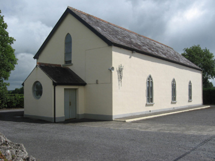 Catholic Church of the Sacred HeartChurch/chapel · 870 yd
Explorer Tom Catholic Church of the Sacred Heart in Killeen South had a barn phase before getting all fancy with glass. A goat once…
 Cappagh BridgeBridge · 930 yd
Explorer Tom Cappagh Bridge describes itself as 'just a bridge' while showing off its tooled limestone every five seconds. It’s got…
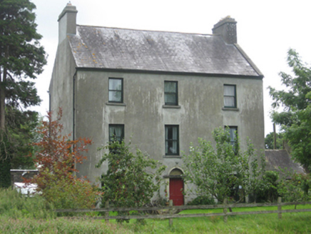 Killeen HouseMiller's house · 1.1 mi
Explorer Tom Killeen House in Killeen South used to grind flour and make serious money for its miller owner. Now it just grinds down…
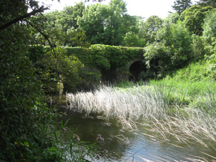 Ballyshrule BridgeBridge · 1.1 mi
Explorer Tom Ballyshrule Bridge has been here for 170 years, so it’s seen every bad decision made by drivers. A fox once took charge…
 Newbridge BridgeBridge · 1.4 mi
Explorer Tom Newbridge Bridge in Gortanummera is a single-arch bridge that was built after some river drainage works and road…
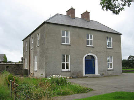 Kylemore HouseHouse · 1.9 mi
Explorer Tom Kylemore House in Leitrim By is polite enough to have paired chimneys but messy enough to be irregular. It would…
 Bullaun stone in GortanummeraBullaun stone · 1.9 mi
Explorer Tom Bullaun stone in Gortanummera is a pink granite rock that looks like it rolled in from another planet. It has a basin…
 Friar's IslandIslet · 2.3 mi
Explorer Tom Friar's Island has a long-standing grudge with the weather; it thinks the clouds are just jealous of its solitude. The…
 Pallas CastleCastle · 2.3 mi
Explorer Tom Pallas Castle in County Galway thinks the little dirt path leading to it is a royal shortcut that saves hours, when it…
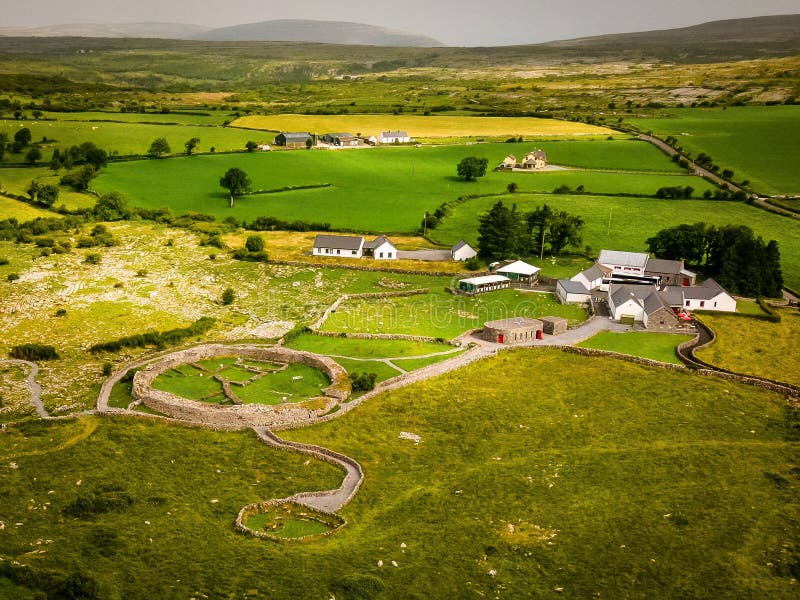 Fairy fort / earthen ringfort in Cuilleen (leitrim By.)Fairy fort / earthen ringfort · 3.7 mi
Explorer Tom Fairy fort in Cuilleen is just a memory on a map now, sitting on a rise doing absolutely nothing. No trace survives…
 Tommy Larkins GAAGAA ground · 4.4 mi
More historic places in County Galway · All of County Galway

What do you know about this place?Tap to add a comment or ask a question