
What is recorded here
Detached U-plan two-bay two-storey house, built c. 1820, with pitched and hipped rear (south) blocks and lean-to return with catslide roof. Lean-to extension to west elevation of east rear block. Now disused. Hipped and pitched slate roofs with rendered chimneystacks, render copings to gable and catslide roof, and cast-iron rainwater goods. Rendered walls. Camber-headed openings with two-over-two pane timber sliding sash windows, one-over-one pane to rear. Three-bay single-storey with attached lower three-bay single-storey outbuildings to east. Pitched slate roofs, rubble stone walls, elliptical-arched openings with red brick and cut stone voussoirs and square-headed openings. Rendered boundary walls with roughcast render panels, square-profile piers and sweep walls.
Tall form, enhanced by central chimneystack marks building out on landscape. Retains much of its original form and notable features such as slate roof and timber sash windows. Outbuilding to site adds context and retains well executed arches. Sweep walls add architectural interest to road side.
This does not grant access. Most recorded buildings are privately owned; view them only from public ground unless the owner allows entry.
Places near here
 Enclosure in BallybranaghEnclosure · 296 yd
 Burnt mound in BallybranaghBurnt mound · 411 yd
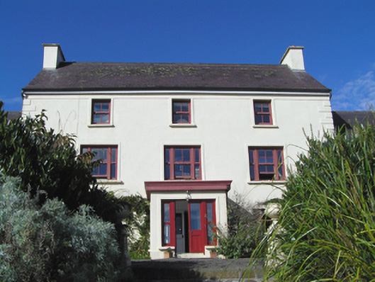 Barnabrow Housecountry house · 1386 yd
 CastleCastle, tower house · 1620 yd
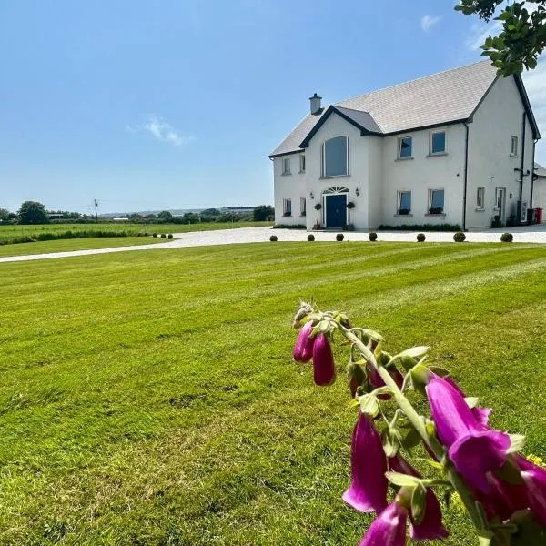 Country house in Ballymaloe MoreCountry house · 1652 yd
 PohutukawaPohutukawa · 2.3 mi
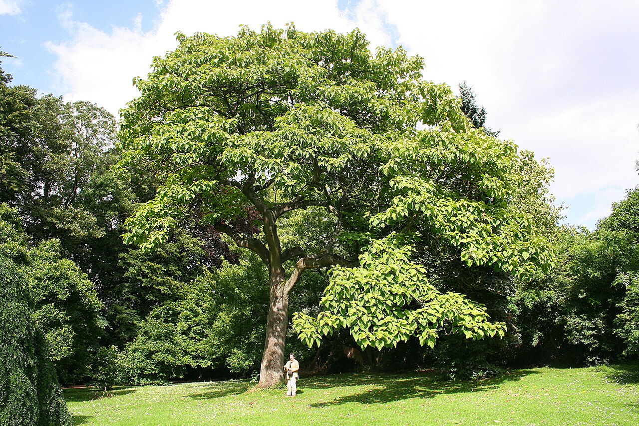 PrincesstreePrincesstree · 2.3 mi
 Ballycroneen BeachBeach / strand · 3.5 mi
 Ballintotis CastleCastle · 3.5 mi
 Ballybrannigan BeachBeach / strand · 3.9 mi
 N25 Picnic SitePicnic place · 4.0 mi
 Garrankinnefeake GraveyardRuins · 4.0 mi
Other information
Photo: National Inventory of Architectural Heritage · Website use allowed for educational or private purposes with source credit