What is recorded here
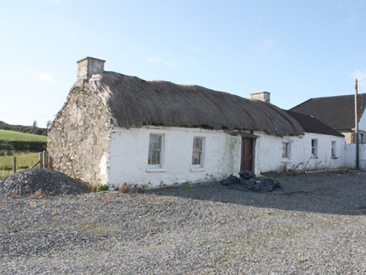
Detached four-bay single-storey vernacular house, built c. 1800, with windbreak porch to front, and with two-bay single-storey extension. Rounded thatched roof with catslide pitch to rear, netting restraint, timber and metal rope stays to eaves, and smooth rendered chimneystacks to gables; flat tooled limestone roof to porch. Pitched corrugated-metal roof to extension. Painted rubble stone walls. Square-headed window openings with three-over-three and two-over-two horned timber sash windows and timber casement window, over painted stone sills. Square-headed door opening with battened timber door. Set within own grounds with modern bungalow to south, and with former dwelling to south-west and with multiple single-storey rubble-stone with pitched corrugated-metal roofed outbuildings to south.
A thatched vernacular house retaining a great deal of character through the survival of original features including sash windows. It constitutes the last of the clachan settlement of Ballybeg, marked on the Ordnance Survey first edition six-inch map of c. 1837. The rounded pitched roof is designed to minimise the impact of high winds, a subtle adaptation of more common thatch detail to accommodate local climatic conditions in exposed areas such as Inishowen. An attractive but sadly threatened element of Donegal’s architectural heritage. Local information suggests that it was the home of former President Mary Robinson’s grandparents.
This does not grant access. Most recorded buildings are privately owned; view them only from public ground unless the owner allows entry.
Places near here
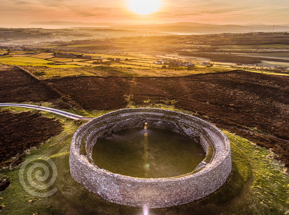 Former Altashane / Cabadooey Fairy FortFairy fort / ringfort · 179 yd
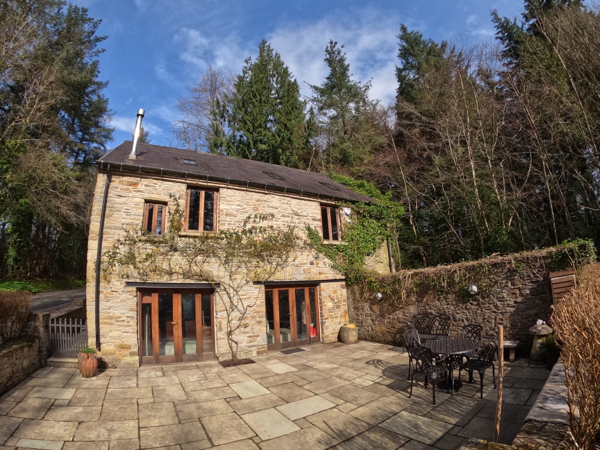 Enclosure in Glasalt OR TreanfasyEnclosure · 1498 yd
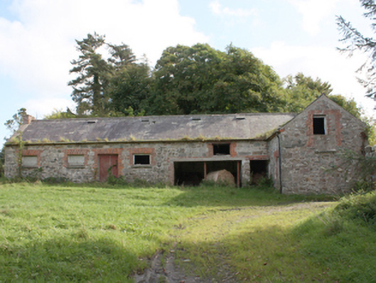 Donagh Church of Ireland Rectoryoutbuilding · 1.4 mi
 railway stationrailway station · 1.5 mi
 Carndonagh Early Church GraveyardGraveyard · 2.4 mi
 Dough Famine VillageHeritage attraction · 3.0 mi
 Doagh Famine VillageMuseum · 3.0 mi
 CastleCastle, unclassified · 3.2 mi
 Five Finger StrandBeach / strand · 3.7 mi
 Lag GraveyardGraveyard · 3.9 mi
 Bawn in CarrickabraghyBawn · 3.9 mi
 Wee Slieve SnaghtMountain / peak · 4.3 mi
Other information
Photo: National Inventory of Architectural Heritage · Website use allowed for educational or private purposes with source credit