What is recorded here
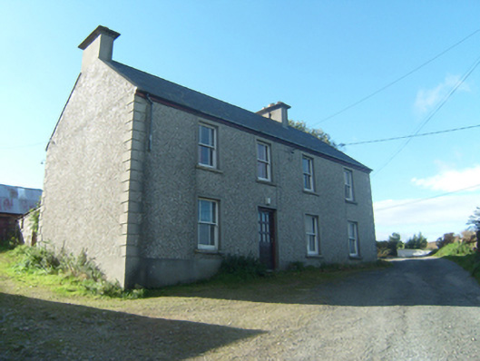
Detached four-bay two-storey house, built c. 1880 and extended to the west c. 1930, having single-storey flat-roof extension to rear (south). Pitched natural slate roof with raised rendered verges to the gable ends, and with two rendered chimneystacks (one to the east gable end and one offset to the east at the gable end of original house. Replacement rainwater goods. Pebbledashed walls finish over smooth rendered plinth, and with projecting smooth rendered block-and-start quoins to corners. Square-headed window openings with smooth rendered reveals, stone sills, and three-over-three pane timber sliding sash windows\margin windows. Square-headed doorway to the centre of original house having smooth rendered reveals and replacement glazed timber door. House set in a slight angle to the road-alignment. Complex of single-storey outbuildings to the rear (south) and to the east having pitched corrugated-metal and natural slate roofs, rubble stone walls, and square-headed openings. Single-storey barrel-vaulted corrugated-metal outbuilding to the east.
This modest house, probably originally dating to the last decades of the nineteenth century, represents a good surviving example of a traditional building in the Irish countryside. It retains its early character and form, while its visual appeal and integrity are enhanced by the retention of salient fabric such as the natural slate roof, and timber sliding sash windows with distinctive glazing bars. The location of the chimneystacks and the doorway indicates that this building was extended along its length to the west at some stage, probably during the first half of the nineteenth century. The house is a good surviving example of houses of its type and date, and makes a positive contribution to the landscape to the east of Carrickart. The substantial complex of rubble stone outbuildings to the rear (south) and to the west add substantially to the historic setting and context, and complete this unassuming composition.
This does not grant access. Most recorded buildings are privately owned; view them only from public ground unless the owner allows entry.
Places near here
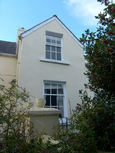 Springfordhouse · 399 yd
 Aghalatty Stone RingfortFairy fort / stone ringfort · 744 yd
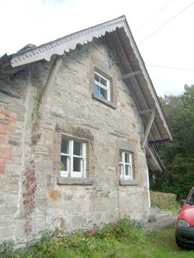 Manor Vaughan Schoolmaster's Houseworker's house, school master's house, house · 917 yd
 Font in Carraig AirtFont · 1755 yd
 Àn Trá MorBeach / strand · 2.7 mi
 Moross CastleCastle, tower house · 2.8 mi
 DowningsOfficial bathing water · 3.2 mi
 Monterey PineMonterey Pine · 3.7 mi
 Monterey CypressMonterey Cypress · 3.7 mi
 Ards Friary Coastal LoopOfficial walking route · 3.8 mi
 Cranberry IslandIslet · 3.9 mi
 Clonmass IslandIslet · 4.1 mi
Other information
Photo: National Inventory of Architectural Heritage · Website use allowed for educational or private purposes with source credit