What is recorded here
Listed on the Dublin City Development Plan (1991) as 'site of Hospital'between Ardee Street and Chamber Street (No. 2, 277). Shown as a religious house on the Friends of Medieval Dublin Map (FMD map 1978).
The monument record does not grant public access. Check the route and ask the landowner before entering private land.
- What survives
- Recorded monument
Places near here
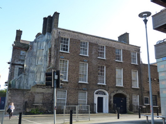 The Brewer's Househouse · 53 yd
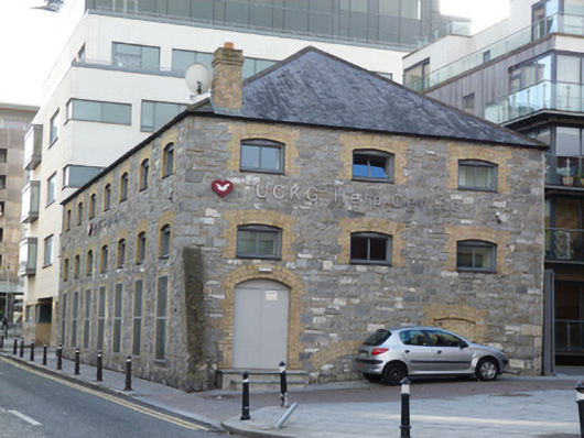 UCKG Help Centremalt house · 105 yd
 Teeling Whiskey CompanyHeritage attraction · 210 yd
 Field system in Unknown TownlandField system · 283 yd
 Graveyard in Unknown TownlandGraveyard · 370 yd
 Courthouse in Unknown TownlandCourthouse · 383 yd
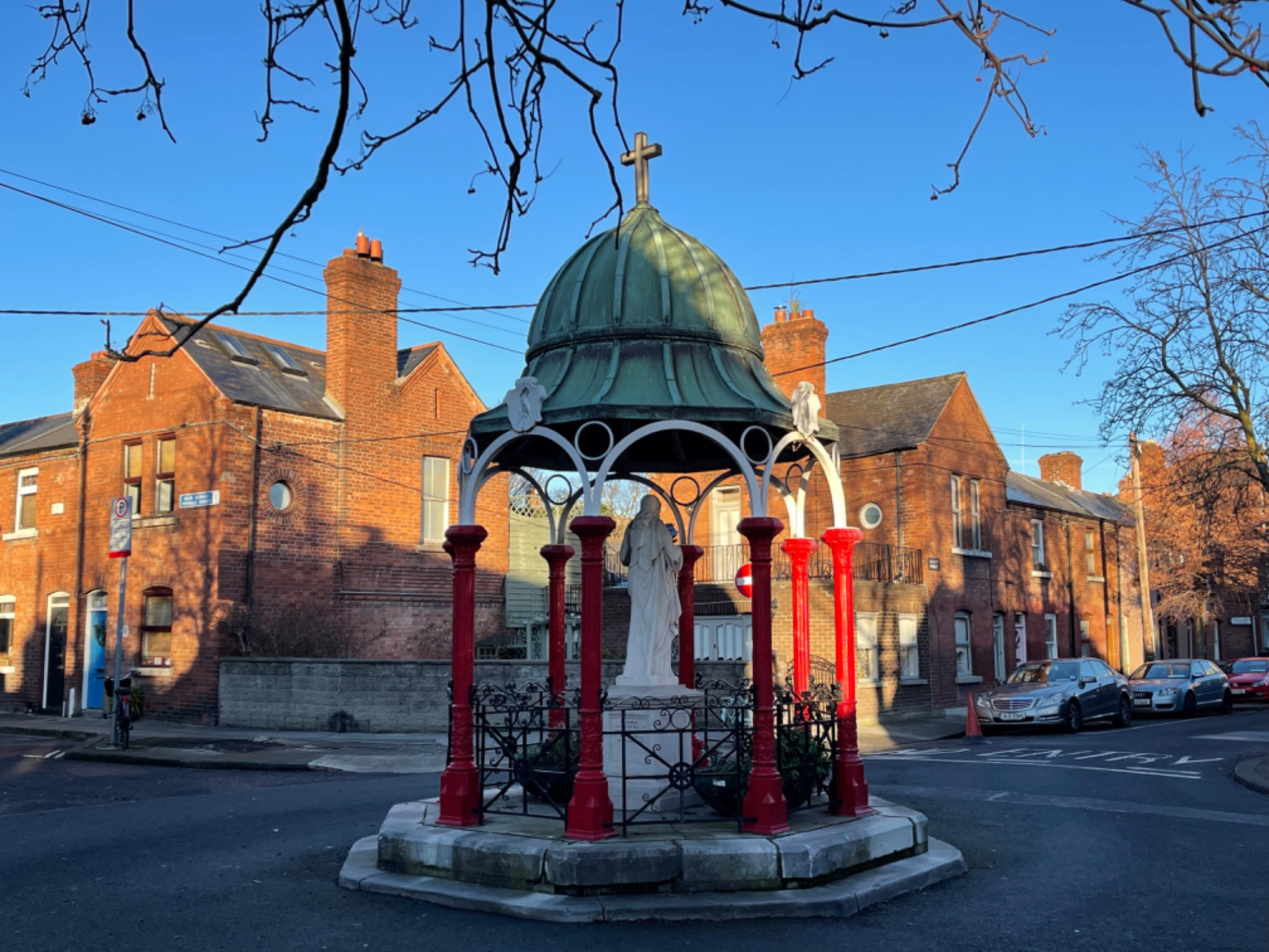 Pallas StudiosGallery · 389 yd
 Site of Saint Patrick's wellMemorial · 603 yd
 Medieval DublinVisitor information · 681 yd
 European PearEuropean Pear · 742 yd
 Bus Route InformationVisitor information · 1135 yd
 CastleCastle, unclassified · 1374 yd