Places near here
Photo credits
- Alpin Stewart, Wikimedia Commons · CC BY-SA 2.0
- Kenneth Allen, Geograph · CC BY-SA 2.0
- Kenneth Allen, Wikimedia Commons · CC BY-SA 2.0
- Watty Graham’s GAC website; individual photographer not named, www.wattygrahamsgac.com
- Kenneth Allen / Geograph via Wikimedia Commons, commons.wikimedia.org
- Linda Bailey, Wikimedia Commons · CC BY-SA 2.0
- Otter, Wikimedia Commons · CC BY-SA 4.0
- Jude Byrne, Wikimedia Commons · CC BY-SA 2.0
- N Chadwick, Geograph · CC BY-SA 2.0
 St. Comgall's ChurchChurch · 1.3 mi
Explorer Tom St Comgall's Church in Desertmartin was the site of a love story so bad the church had to hold a memorial service for…
 Slieve Gallion ne TopMountain / peak · 3.2 mi
Explorer Tom Slieve Gallion ne Top in County Derry has a long-standing grudge against the wind because it keeps stealing its hat and…
 Craigadick Picnic AreaPicnic place · 3.4 mi
Explorer Tom Craigadick Picnic Area has a bird that refuses to leave, probably because it likes the smell of old chips. It’s south…
_-_geograph.org.uk_-_2309406.jpg/250px-Corn_store_(front_view)_-_geograph.org.uk_-_2309406.jpg "Photo: Kenneth Allen, Wikimedia Commons · CC BY-SA 2.0") Corn StoreStore · 3.5 mi
Corn StoreStore · 3.5 miExplorer Tom Another Corn Store, this one just stands there letting the wind pick on it for fun. It’s got character, or maybe it’s…
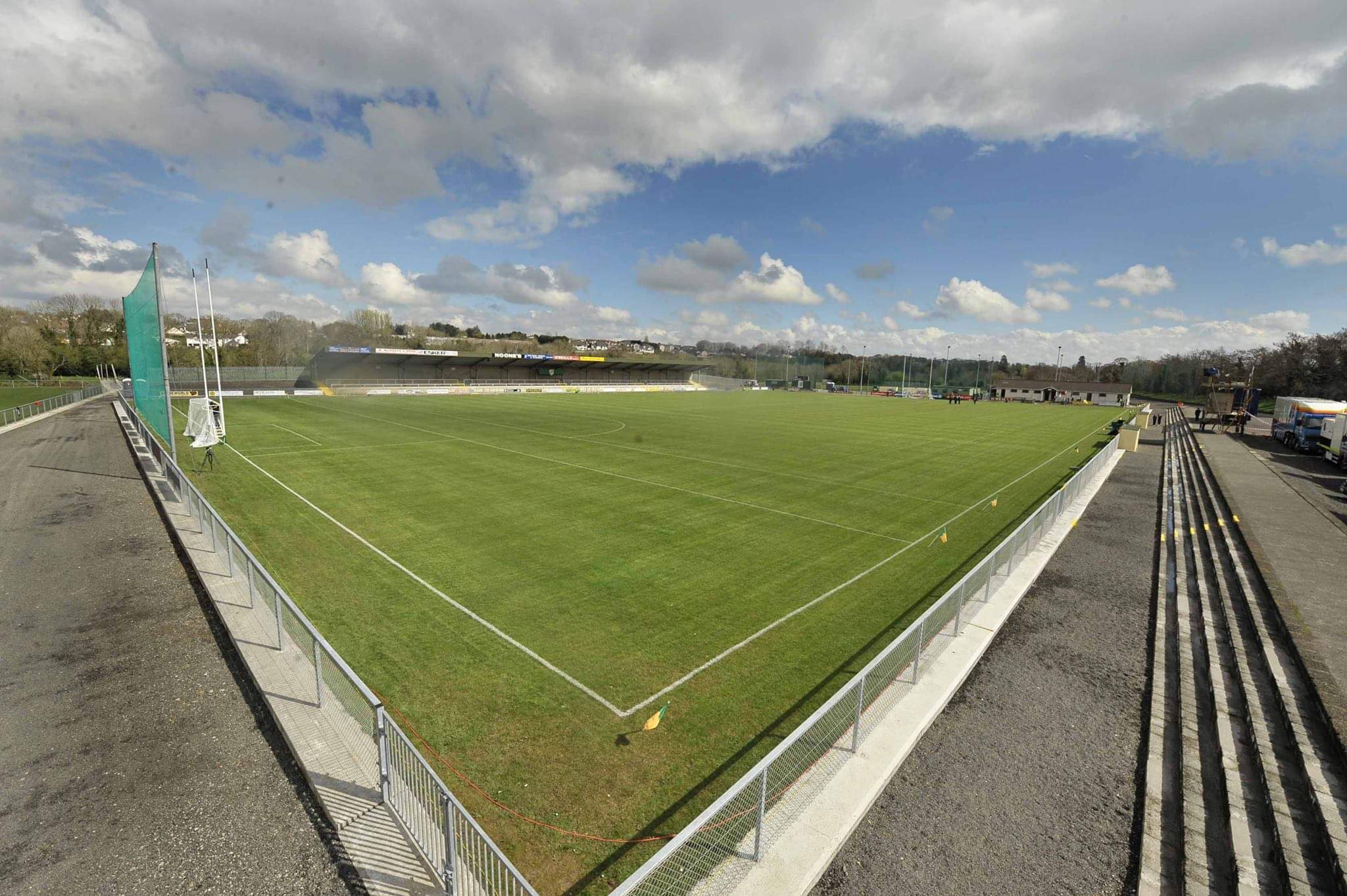 Watty Graham Park, Watty Graham's GAA, GlenGAA ground · 3.7 mi
 Rossa Park, O'Donovan Rossa's GAA, MagherafeltGAA ground · 4.3 mi
 Slieve GallionMountain / peak · 4.6 mi
Explorer Tom Slieve Gallion is a volcano's old plug standing above Lough Neagh, though it is long past any fiery behaviour. At 528…
 Tirnony DolmenArchaeological place · 4.8 mi
Explorer Tom Tirnony Dolmen in County Derry is basically a stone bench that got promoted to monument status and now acts all…
 Portal tomb: tirnony dolmen in TirnonyPortal Tomb: Tirnony Dolmen · 4.8 mi
Explorer Tom The Tirnony dolmen is in state care, meaning the government thinks it’s special but won’t pay for a fence. It would…
 War MemorialMonument · 5.5 mi
Explorer Tom This War Monument has given up on Lent entirely because it's too busy looking majestic in the rain. It thinks counting…
 Manor ParkPark · 6.6 mi
Explorer Tom Manor Park in Moneymore follows the Ballymully River, giving this County Derry village five acres of paths, a wildlife…
 Lough FeaWalking route · 6.6 mi
Explorer Tom Lough Fea in County Derry has strict rules for visitors, the main one being that if you drop your phone in, it becomes…
More historic places in County Derry · All of County Derry

What do you know about this place?Tap to add a comment or ask a question