What is recorded here
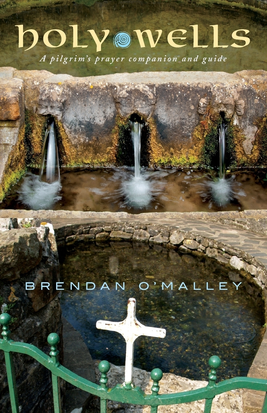
Holy Wells are two spring-fed basins beside Carrickaboy Glebe church in County Cavan, Ireland, old enough to appear on every Ordnance Survey sheet and familiar enough for local people to leave coins, flowers or prayers at their edges. Davies recorded them in 1940 as open hillside springs with a little wall behind them, yet cattle have since drunk the separate waters into one broad trough. What began as a place for asking, healing or remembering has become a place for beasts to lower their heads and fill their mouths, the sacred and the ordinary mixing in the same cold water.
Situated a short/distance SW of Carrickaboy Glebe church (CV026-014001-). Two holy wells marked on all OS eds. Davies (ITA Survey 1940) described them as two open springs on a hillside with 'a little walling at the back'. In recent years the wells have been amalgamated and are now used as a large watering-hole for cattle.
The above description is derived from the published 'Archaeological Inventory of County Cavan' (Dublin: Stationery Office, 1995). In certain instances the entries have been revised and updated in the light of recent research.
Date of upload/revision: 22 December 2008
Linked to unspecified saints or local traditions, the wells are noted for their long-standing veneration, as indicated by the small walling described in early surveys. No specific cures or folklore are recorded, though their consistent marking on maps suggests enduring local reverence.
The monument record does not grant public access. Check the route and ask the landowner before entering private land.
- What survives
- Recorded monument
Places near here
 IndicatedFairy fort / earthen ringfort · 781 yd
 Dennmore or LeggandennMountain / peak · 997 yd
 Fairy fort / earthen ringfort in Denn GlebeFairy fort / earthen ringfort · 1235 yd
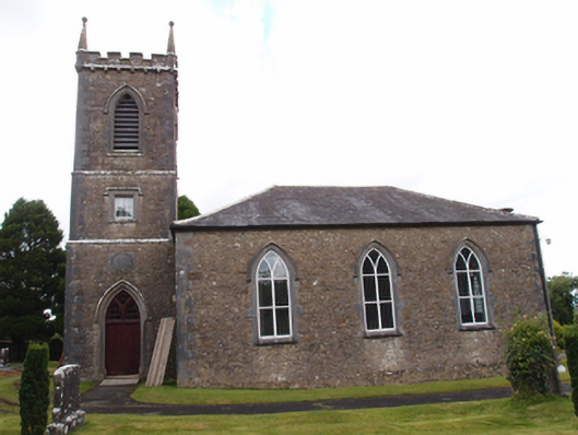 Denn Churchchurch/chapel · 1373 yd
 Ardkill ForestForest · 1388 yd
 Ardkill MoreMountain / peak · 1441 yd
 Ardvarny ForestForest · 1.2 mi
 Carricknagore RockNamed rock · 1.6 mi
 Giant's GraveArchaeological place · 1.8 mi
 Church in Cashel (clanmahon By.)Church · 2.7 mi
 Bawn in MoynehallBawn · 2.9 mi
 Ancient Order of Hibernians MemorialMemorial · 3.9 mi
Other information
Photo: Credit not shown in the picture search · Rights wording not checked; contact us if this picture should be removed