What is recorded here
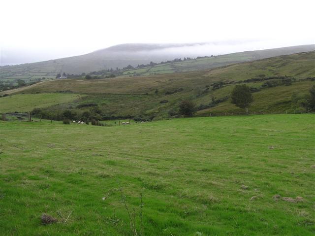
Toberavady, or McDAID'S WELL, stands in County Derry as the well of the cropped dog, preserving a strange local identity in its very name. The exact age and events behind the place remain uncertain, but the naming suggests people once gathered there to remember a dog marked by loss or transformation. Water may have flowed clean through stone while the community gave the animal its own sacred address. The well still exists as a small challenge to forgetfulness, holding a creature and human world together under one local name.
The official Northern Ireland record identifies this as HOLY WELL: TOBERAVADY or MCDAID'S WELL also Tobar-a-mhadaidh-m-haoil - the well of the cropped dog. Recorded period: UNCERTAIN. The official map point was placed at the centre of the recorded archaeological site from the source map reference.
Linked to a local tradition rather than a specific saint, the well is associated with the Gaelic term Tobar-a-mhadaidh-m-haoil, interpreted as "the well of the cropped dog," suggesting a possible folkloric or symbolic connection to animal rituals or protective practices. No specific cures or saintly associations are recorded, though such wells often featured in pre-Christian and early Christian healing or fertility traditions.
The monument record does not grant public access. Check the route and ask the landowner before entering private land.
- What survives
- Recorded monument
Places near here
 ENCLOSURE & BURIAL GROUND (O.S. memoir site, unlocated) in MoydamlaghtENCLOSURE & BURIAL GROUND (O.S. memoir site, unlocated) · 1233 yd
 Moydamlaght ForestForest · 1614 yd
 ENCLOSURE (O.S. memoir site, unlocated) in MoneyneanyENCLOSURE (O.S. memoir site, unlocated) · 1.4 mi
 Craigagh HillMountain / peak · 1.5 mi
 Craig-na-ShokeCliff · 1.6 mi
 MullaghmoreMountain / peak · 1.8 mi
 St Columba's ChurchChurch · 3.3 mi
 Soup KitchenSoup Kitchen · 3.4 mi
 Goles ForestNature reserve · 4.6 mi
 Banagher Glen - Forest TrailWalking route · 4.7 mi
 Altkeeran WaterfallWaterfall · 5.8 mi
 Craigadick Picnic AreaPicnic place · 6.7 mi