What is recorded here
Holy Well in County Clare is a vanished water source marked only by a low square pier of moss-covered stones and a buried flag slab at a roadside ditch. The name appeared on official maps before the water disappeared, suggesting the well was already forgotten when surveyors drew the line. People may have prayed at this spot, dropped coins into darkness, or simply passed it without knowing what they walked beside.
On generally level ground at a roadside boundary ditch (Wth 2.5m). Depicted and named ‘Holy Well’ on 25-inch OS map and 1920 edition of the OS 6-inch map. A squared arrangement of moss-covered stones are located at the side of the road at this location. They are arranged three to four courses high in the form of a low square-plan pier. It is of drystone construction and unknown if it is associated with the holy well. A large flat, moss-covered flag is barely visible within the vegetation of the boundary at this point and may be of relevance. There is no obvious well feature at this location and it may have been blocked up. There is no trace of any well feature in the pasture field to E. There is a deposit of medium sized rocks and branches along the interior of the roadside boundary at this location.
The following images have been uploaded:
CL027-046----_01.jpg From W. Square plan arrangement of moss-covered stones at roadside boundary.
CL027-046----_02.jpg From W. Close view of large moss-covered slab within boundary.
Compiled by: Mary Tunney, Alison McQueen and Vera Rahilly
Date of upload: 12 December 2018
Linked to Saint Blane, the well is traditionally associated with healing and is believed to have curative properties, particularly for skin ailments and eye complaints. Pilgrimages and offerings, such as coins and ribbons, continue to be made at the site, reflecting longstanding Celtic Christian traditions.
This remains an important historical record, but the official description says the monument is no longer visible or has been destroyed. The monument record does not grant public access. Check the route and ask the landowner before entering private land.
- What survives
- No visible remains or recorded as destroyed
Places near here
 Tyredagh Castle (in ruins)Castle, tower house · 587 yd
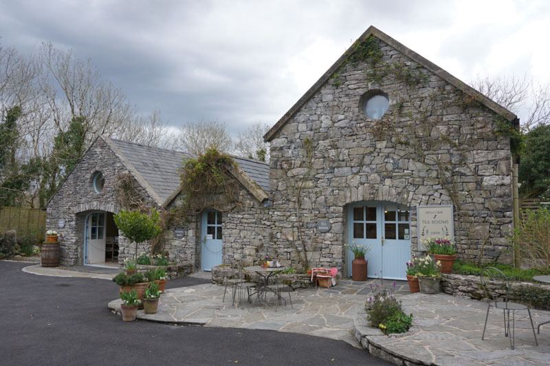 Enclosure in AffickEnclosure · 762 yd
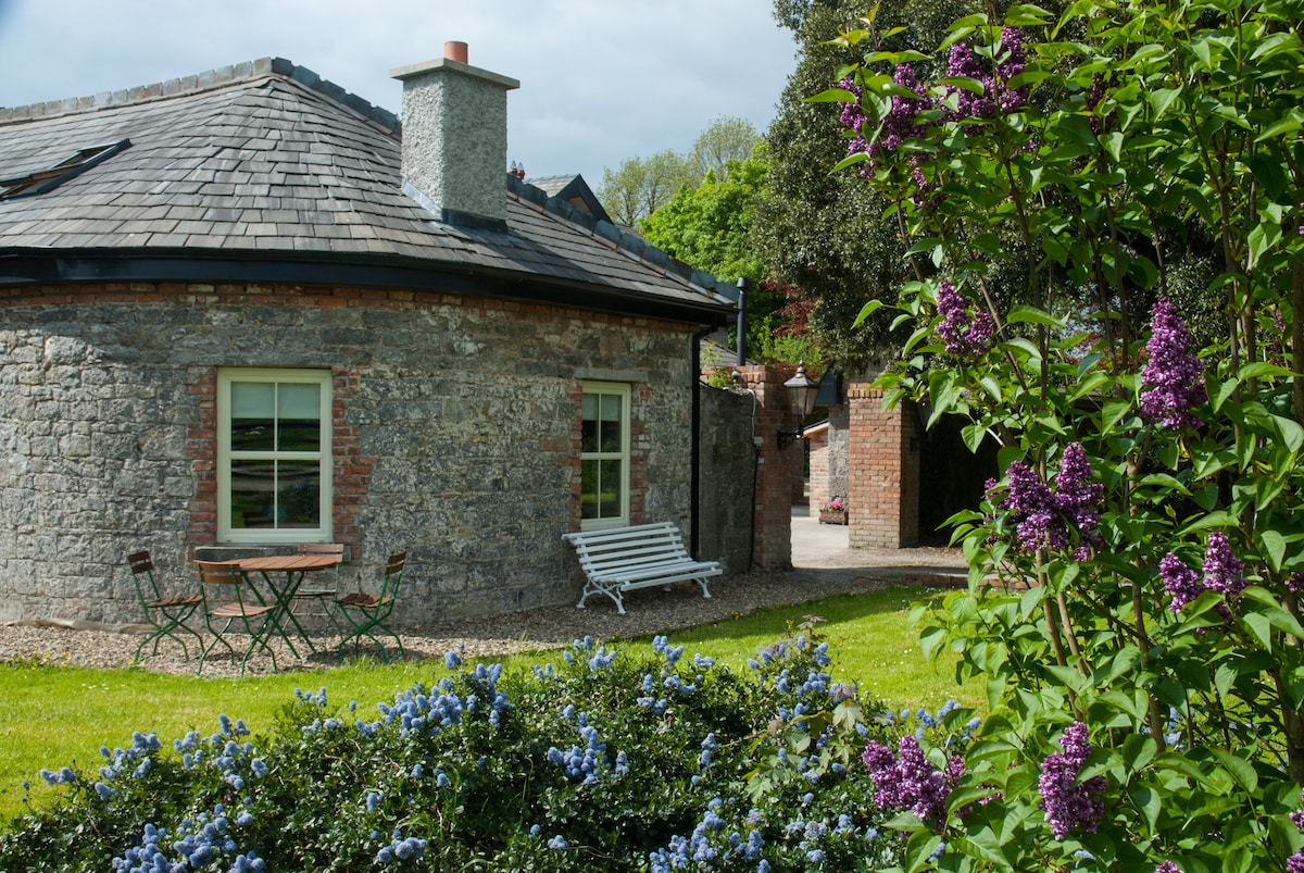 LisnagleraghFairy fort / earthen ringfort · 1035 yd
 Milltown Castle (in ruins)Castle, tower house · 1256 yd
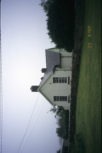 Scoil Náisiúnta Macaireschool · 1.1 mi
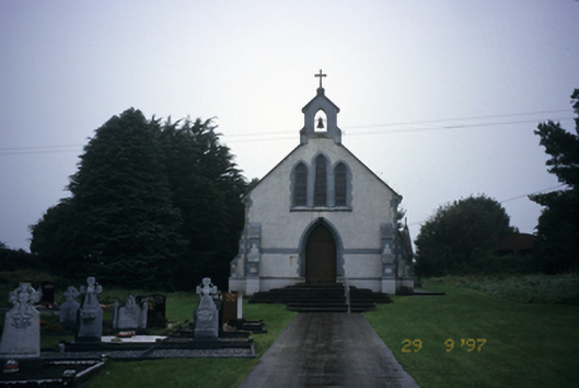 Saint Stephen's Catholic Churchchurch/chapel · 1.2 mi
 The StablesGallery · 1.9 mi
 Derrymore WoodWood · 3.1 mi
 Cloghleagh RockNamed rock · 3.8 mi
 Kilcatherine GraveyardWood · 4.6 mi
 Quin AbbeyHeritage attraction · 5.3 mi
 Mulkere MemorialMemorial · 5.6 mi