What is recorded here
Holy Well stood north of Inishleena abbey at the foot of a rock cliff, enclosed in a small mortared sandstone and red brick canopy before the Lee Valley Hydro-electric Scheme flooded the valley. It was regarded as a holy well traditionally associated with the abbey, a quiet ritual place where water rose beneath a cliff and people came for grace, healing or remembrance. The scheme erased the visible well, but the story remains: a small sacred chamber at the edge of water, now hidden beneath the lake it once bordered.
Recorded by Fahy (1957b, 65) prior to flooding by Lee Valley Hydro-electric Scheme. Well stood to N of Inishleena abbey (CO072-044002-), at foot of rock cliff and was traditionally associated with abbey and regarded as a holy well. It was enclosed within a canopy of mortared sandstone-rubble and red brick (int. H 3ft 5in; 2ft 8in x 4ft 6in).
The above description is derived from the published 'Archaeological Inventory of County Cork. Volume 3: Mid Cork' (Dublin: Stationery Office, 1997). In certain instances the entries have been revised and updated in the light of recent research.
Date of upload/revision: 14 January 2009
linked to Saint Gobnait, traditionally associated with healing and beekeeping; the well was likely used for ritual washing and was considered to have curative properties, particularly for ailments of the eyes and skin. Its connection to Inishleena Abbey suggests a monastic tradition of pilgrimage and devotion.
The monument record does not grant public access. Check the route and ask the landowner before entering private land.
- What survives
- Recorded monument
Places near here
 Abbey (Site of)Ecclesiastical site · 102 yd
 Corn Mill (Disused)Mill, corn · 925 yd
 Bob AdamsMemorial · 1026 yd
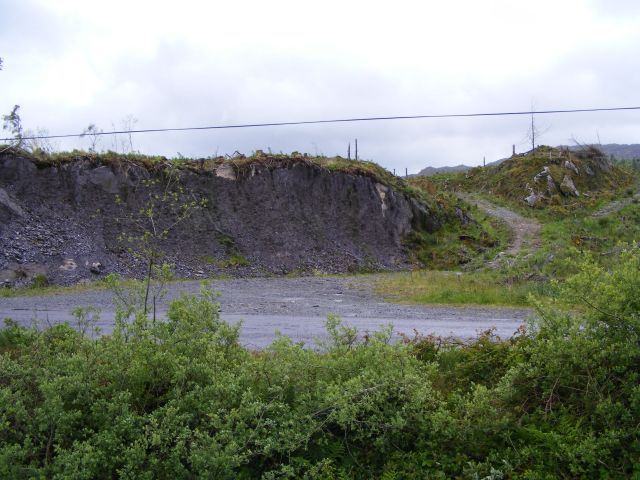 Quarry in CronodyQuarry · 1033 yd
 Marys Well, Sundays WellHoly well · 1365 yd
 Castle Inch (in Ruins)Castle, tower house · 1.1 mi
 Iniscarra Dam ViewViewpoint · 1.6 mi
 Ballyanly Inniscarra Slí na SláinteWalking route · 1.9 mi
 Coachford Greenway (End)Visitor information · 2.0 mi
 Farran WoodWood · 2.4 mi
 Graveyard in Carrigane (muskerry East By.)Graveyard · 2.8 mi
 Carrignamuck Tower HouseCastle · 2.8 mi