What is recorded here
The official Northern Ireland record identifies this as HOLY WELL. Recorded period: UNCERTAIN. The official map point was placed at the centre of the recorded archaeological site from the source map reference.
Linked to Saint Brigid, the well is traditionally associated with healing and fertility, with pilgrims historically visiting to seek cures for infertility and general wellness. The site reflects broader Celtic Christian traditions in which holy wells were believed to hold curative powers through the intercession of saints.
The monument record does not grant public access. Check the route and ask the landowner before entering private land.
- What survives
- Recorded monument
Places near here
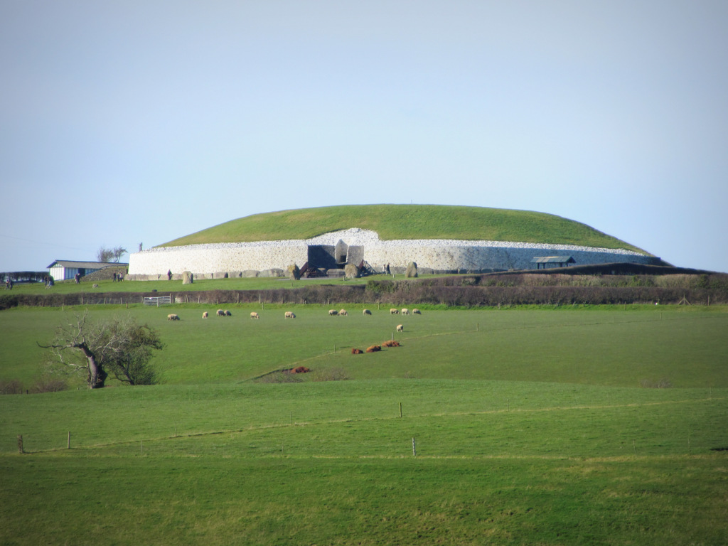 A.P. SITEA.P. SITE, circular enclosure · 448 yd
 ENCLOSURE: KILLNOW in TamnabryanENCLOSURE: KILLNOW · 1331 yd
 Gortmonly HillMountain / peak · 1516 yd
 St John’s Church of IrelandChurch · 1.5 mi
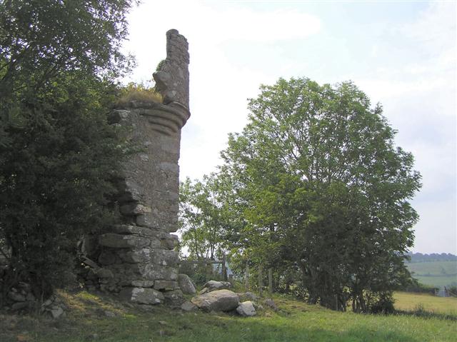 PLANTATION CASTLE: MOUNT CASTLE in MountcastlePLANTATION CASTLE: MOUNT CASTLE · 1.7 mi
 Glencush BridgeBridge · 1.9 mi
 Mongavlin CastleHouse, fortified house · 2.6 mi
 BATTLE SITE: BATTLE OF THE FORDS, Northern crossing, 1689 in Ballydonaghy; Greenlaw; LeckpatrickBATTLE SITE: BATTLE OF THE FORDS, Northern crossing, 1689 · 3.0 mi
 Curryfree HillMountain / peak · 3.3 mi
 Ballee WoodWood · 4.4 mi
 Round WoodWood · 4.4 mi
 Battle of Knockavoe BattlefieldBattlefield · 5.2 mi