What is recorded here
Two holy wells sit close to the shore in Rann Na Feirste, embedded among poor pasture and extensive rock outcrop. They belonged to an older ritual life when clean water emerging through stone marked a boundary between the human world and something larger. People may have knelt at their edges, poured offerings into the dark, or drawn water for sickness and promise. The sea remains near enough to touch the grass, as if the wells still belong to both land and tide.
Two wells in this vicinity were formerly considered 'holy'. They are located close to the shore in poor pasture with extensive rock outcrop.
The above description was derived from the 'Archaeological Survey of County Donegal. A description of the field antiquities of the County from the Mesolithic Period to the 17th century.' Compiled by: Brian Lacey with Eamon Cody, Claire Cotter, Judy Cuppage, Noel Dunne, Vincent Hurley, Celie O'Rahilly, Paul Walsh and Seán Ó Nualláin (Lifford: Donegal County Council, 1983). In certain instances the entries have been revised and updated.
Compiled by Caimin O'Brien
Date of upload/revision: 02 November 2011
Linked to unspecified local saints or traditions, the wells were historically visited for their supposed healing properties, particularly for ailments related to water or the sea. The name "Rann Na Feirste" (Beach of the Fairies) suggests a possible folklore connection to fairy beliefs or other supernatural elements common in Irish holy well traditions.
The monument record does not grant public access. Check the route and ask the landowner before entering private land.
- What survives
- Recorded monument
Places near here
 Holy well in Rann Na FeirsteHoly well · 182 yd
 Braade StrandBeach / strand · 1414 yd
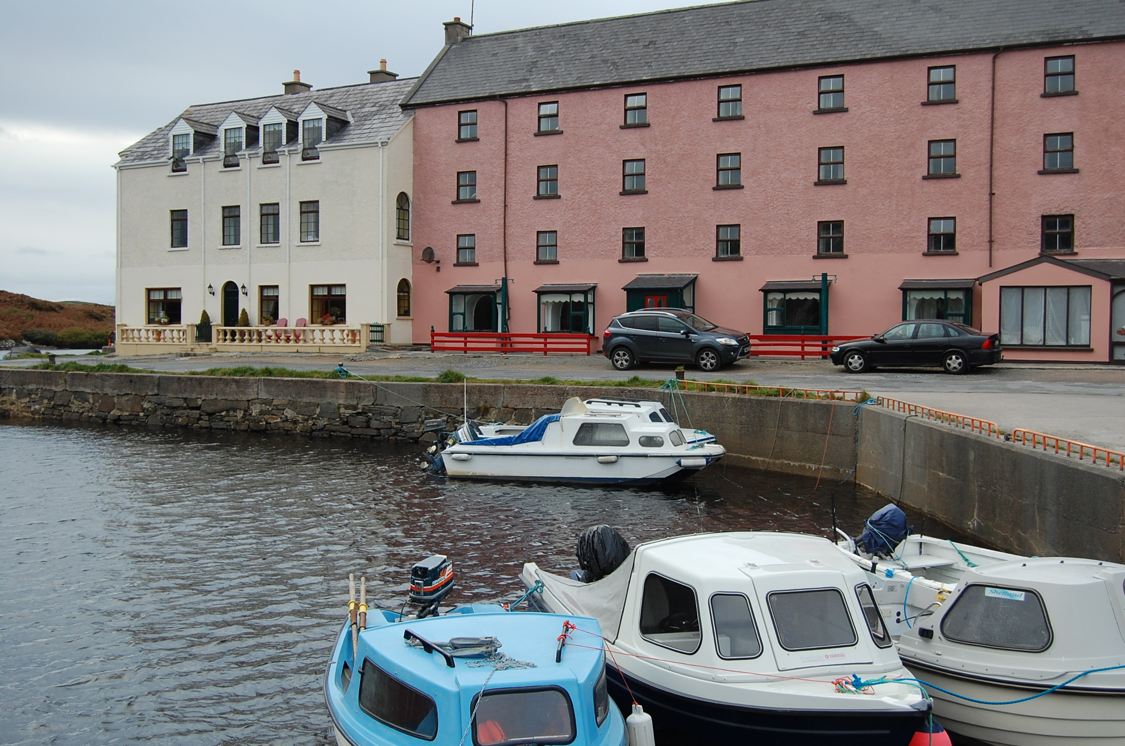 quay/wharfquay/wharf · 1.1 mi
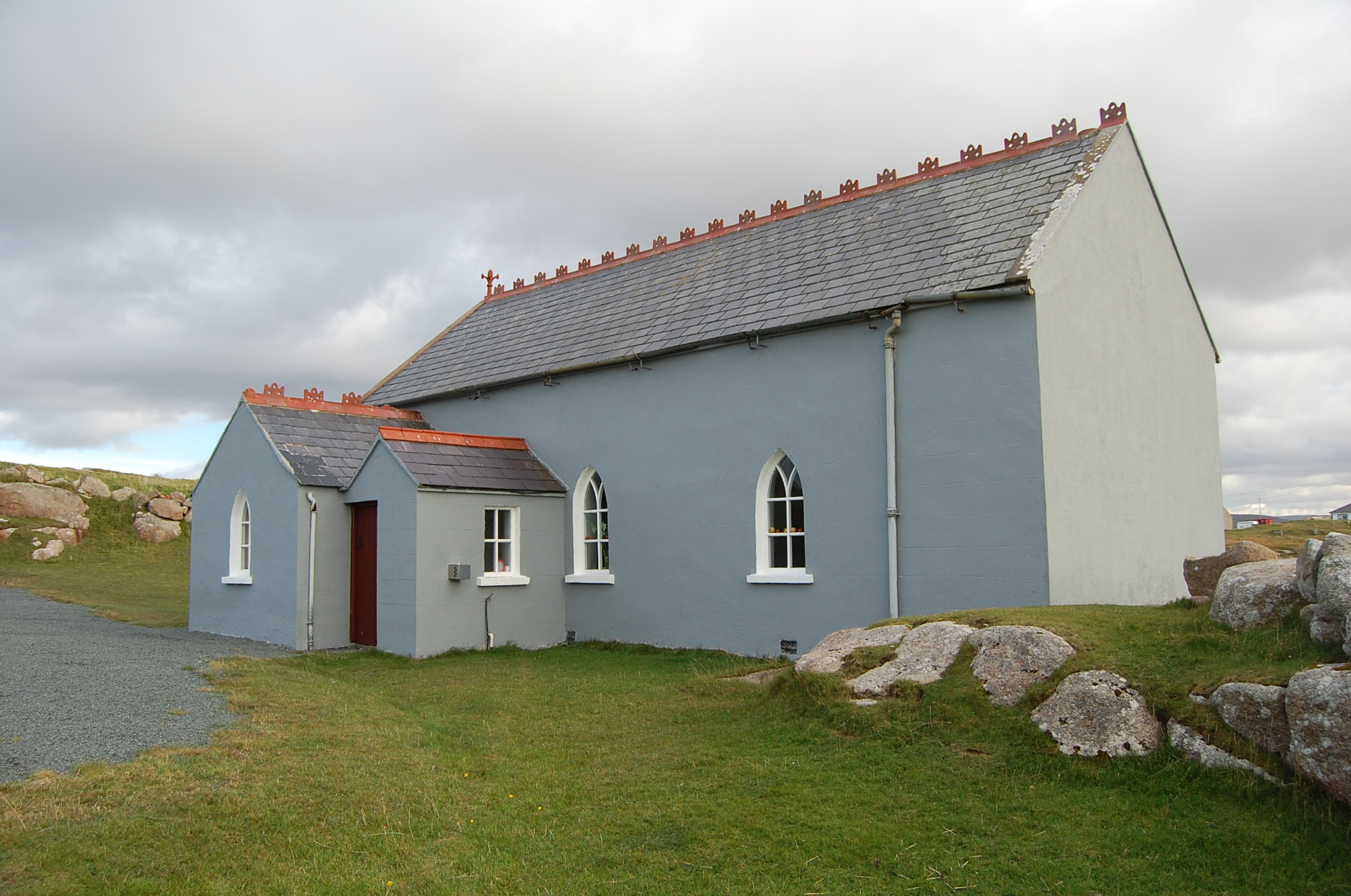 Saint Andrew's Church (Templecrone)watch tower · 1.1 mi
 Stone Circle near Donegal AirportPublicly named stone circle · 1.1 mi
 CarrickfinnOfficial bathing water · 1.4 mi
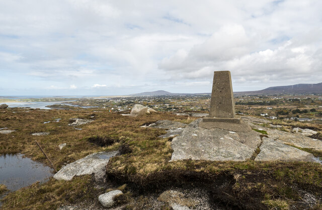 Annagary HillMountain / peak · 1.9 mi
 Trá Dún MórBeach / strand · 1.9 mi
 An tOileán CarrachIslet · 2.5 mi
 Rinnalea Point / Na Reanna LiathaHeadland · 3.3 mi
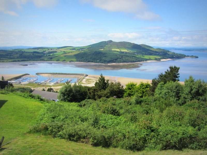 Allagh IslandIslet · 3.4 mi
 Main WallCliff · 4.2 mi