What is recorded here
Water still beads on the moss at Monancloy, though no hand has poured wine into the well for centuries. The hole remains a clean cut through granite, waiting for the old bargain of a drop returned and a life given back. Troops marched past it during the war, rifles shouldered, none of them thinking to drink. They were not the first to refuse the well, nor will they be the last.
The official Northern Ireland record identifies this as HOLY WELL. Recorded period: UNCERTAIN. The official map point was placed at the centre of the recorded archaeological site from the source map reference.
Linked to an unidentified saint, the well at Monancloy is traditionally associated with healing and may have been a site of pilgrimage. Local folklore suggests it was visited for curing ailments, particularly skin conditions, though historical records remain sparse.
The monument record does not grant public access. Check the route and ask the landowner before entering private land.
- What survives
- Recorded monument
Places near here
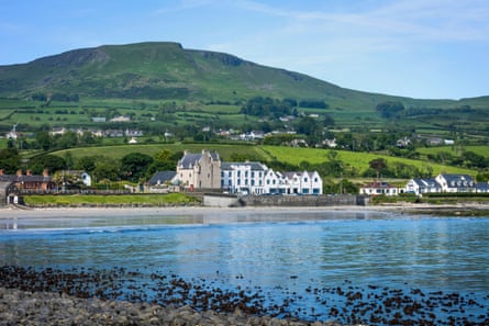 A.P. SITEA.P. SITE, enclosure? · 1509 yd
 STANDING STONE; ENCLOSURE; HOUSE PLATFORMS: STANDING STONE in KnockansSTANDING STONE; ENCLOSURE; HOUSE PLATFORMS: STANDING STONE · 1.1 mi
 KnocklaydMountain / peak · 1.1 mi
 MOTTE WITH CASTLE RUINS & Man-made underground passage in CloghanmurryMOTTE WITH CASTLE RUINS & Man-made underground passage · 1.3 mi
 PRE-NORMAN CHURCH & ROUND TOWER; MEDIEVAL PARISH CHURCH; POST-MEDIEVAL CHURCH & GRAVEYARD: ARMOY CHURCH & ROUND TOWER in GlebePRE-NORMAN CHURCH & ROUND TOWER; MEDIEVAL PARISH CHURCH; POST-MEDIEVAL CHURCH & GRAVEYARD: ARMOY CHURCH & ROUND TOWER · 2.0 mi
 Ballycastle ForestForest · 2.2 mi
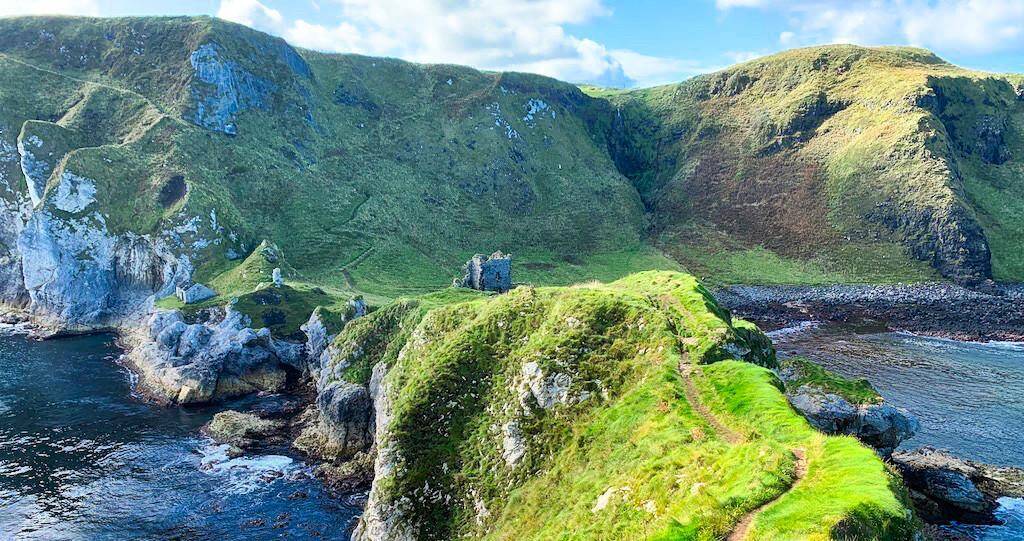 CASTLE? Unlocated in Doonfin (possible)CASTLE? Unlocated · 2.3 mi
 Ramoan Presbyterian ChurchChurch · 2.5 mi
 Causeway Coast and Glens Heritage TrustVisitor information · 2.7 mi
 Ballycastle Presbyterian ChurchChurch · 3.1 mi
 Kilmoyle WoodForest · 3.1 mi
 Ballycastle MuseumMuseum · 3.2 mi