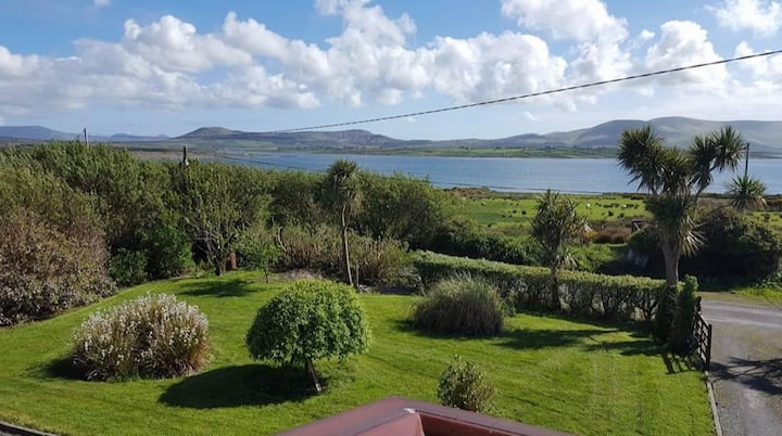
What is recorded here
Not marked on the OS maps, this well is located on the upper N slopes of Kilkeaveragh mountain. It is almost completely obscured by overgrowth and was enclosed by a low drystone wall, remnants of which survive. There is a tradition of rounds formerly being made at the site (local information).
The above description is derived from A. O'Sullivan and J. Sheehan (compilers), 'The Iveragh peninsula: an archaeological survey of South Kerry'. Cork University Press (1996), no. 1079. In certain instances the entries have been revised and updated in the light of recent research.
Date of upload: 31 July 2013
A local holy well or ritual site; wider significance not recorded.
The monument record does not grant public access. Check the route and ask the landowner before entering private land.
- What survives
- Recorded monument
Places near here
 Man-made underground passage in LateeveMan-made underground passage · 1295 yd
 Ráth/ FortArchaeological place · 1704 yd
 Church in Cill BuaineChurch · 1.1 mi
 Suíomh Eaglasta/ Ecclesiastical Site.Ruins · 1.1 mi
 Cúm an EaspaigMountain / peak · 1.3 mi
 Cuas Dhiarmuid Uí FháilbheBay · 1.5 mi
 Tráigh na CilleBeach / strand · 1.5 mi
 Tobairin Holy WellSpring · 1.5 mi
 Cuas a' PhúcaCave · 1.5 mi
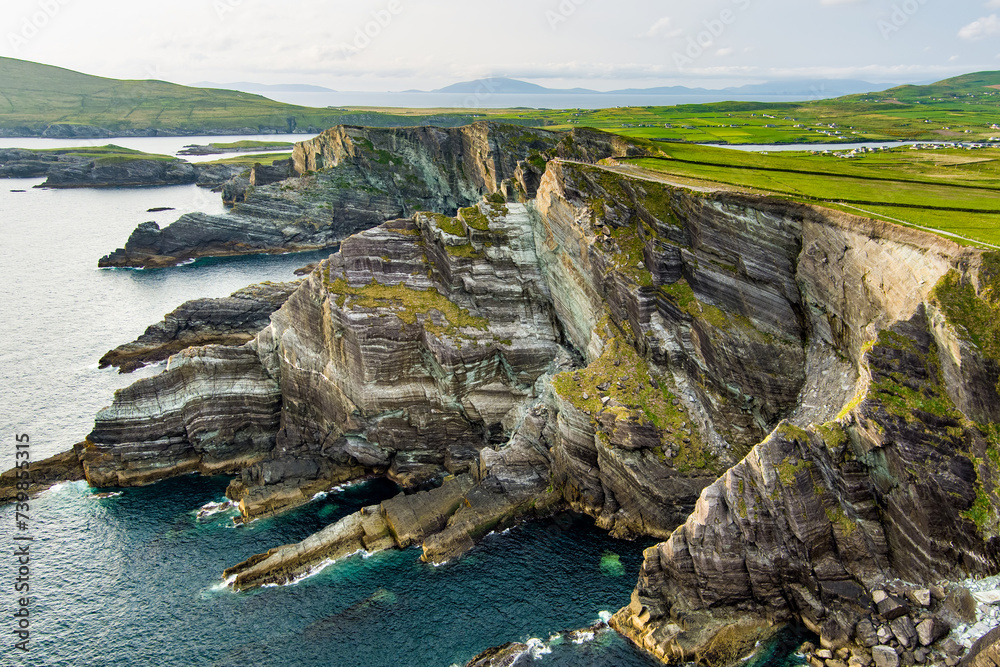 Cuas na TeorannHeadland · 1.5 mi
 BallynablounMountain / peak · 1.8 mi
 Beehive CellsHeritage attraction · 1.8 mi
Other information
Photo: Credit not shown in the picture search · Rights wording not checked; contact us if this picture should be removed