What is recorded here
Dry mud sits at the bottom of a shallow rock niche facing west, but local memory insists water once filled the hole and crutches leaned against its edge. That is still the shape of the place: a small hollow where people set down pain and left it behind.
In rough pasture on N-facing slope. Roughly rectangular niche (H 0.61m; Wth 0.78m; D 0.74m) in exposed rock outcrop with opening facing W. Mud at base, no water visible. According to local tradition once a holy well; "crutches" left here at one time.
The above description is derived from the published 'Archaeological Inventory of County Cork. Volume 1: West Cork' (Dublin: Stationery Office, 1992). In certain instances the entries have been revised and updated in the light of recent research.
Date of upload/revision: 14 January 2009
Images provided by and copyright of Amanda Clarke 2016-2022 https://holywellscorkandkerry.com/
Linked to Saint More, one of the Twelve Apostles of Ireland, who is traditionally associated with the area of Bandon and Kilmore. The site may have been used for healing rituals, as many holy wells dedicated to early saints were believed to possess curative properties, particularly for eye ailments and general well-being.
The monument record does not grant public access. Check the route and ask the landowner before entering private land.
- What survives
- Recorded monument
Places near here
 Whiddy IslandIsland · 443 yd
 Church (in Ruins)Church · 550 yd
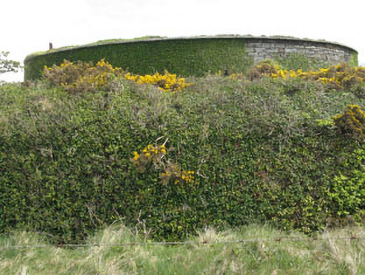 West Batterybattery · 1197 yd
 Lousy Castle IslandIslet · 1216 yd
 Fulacht fia in DromcloghFulacht fia · 1.4 mi
 Ladys WellHoly well · 1.6 mi
 Ardnamanagh PointHeadland · 1.9 mi
 Reenagough PointHeadland · 1.9 mi
 GinkgoGinkgo · 2.0 mi
 Bantry HouseHeritage attraction · 2.1 mi
 schoolschool · 1313 yd
 Rabbit IslandIslet · 1464 yd