What is recorded here
According to local information, during a recent retail development a holy well was covered over. There are no visible remains of the well but a lane to the S of it is named 'Well Lane South'.
From the National Monuments Service (Archaeological Survey of Ireland) record KE066-110
This remains an important historical record, but the official description says the monument is no longer visible or has been destroyed. The monument record does not grant public access. Check the route and ask the landowner before entering private land.
- What survives
- No visible remains or recorded as destroyed
Places near here
Photo credits
- National Inventory of Architectural Heritage
- Marathon, Geograph · CC BY-SA 2.0
- EecherplazGinkgo06.jpg : Cayambe derivative work: Ginkgotree ( talk ), Wikimedia Commons · CC BY-SA 3.0
- Mike Murphy ( talk · contribs ), Wikimedia Commons · CC BY-SA 3.0
- Colin Park, Geograph · CC BY-SA 2.0
- Humphrey Bolton, Geograph · CC BY-SA 2.0
- Dumphasizer, Wikimedia Commons · CC BY-SA 2.0
- Mike Searle, Wikimedia Commons · CC BY-SA 2.0
- bdolicki, Wikimedia Commons · CC BY-SA 3.0
- Gillfoto, Wikimedia Commons · CC BY-SA 4.0
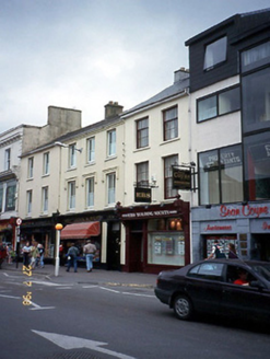 John M. ReidyHouse · 87 yd
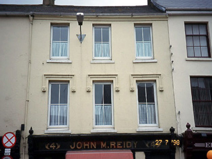 John M. ReidyHouse · 90 yd
 Monsignor Hugh O'Flaherty MemorialMemorial · 151 yd
 Ginkgo647 yd
 Giant Sequoia665 yd
 Circular WalkWalking route · 1392 yd
 River WalkWalking route · 1599 yd
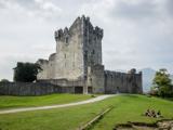 Ross CastleVisitor information · 1.4 mi
 Flesk CastleCastle · 1.5 mi
 Ross Castle (in ruins)Castle, tower house · 1.5 mi
 Ross CastleHeritage attraction · 1.5 mi
 Cherry IslandIsland · 1.6 mi
More archaeology and monuments in County Kerry · All of County Kerry
What do you know about this place?