What is recorded here
On the summit of an natural ridge (running E-W) which slopes slightly to S, in gently rolling pastureland. This holy well is referred to as being 'Close to a church site' (TS081-030001-) and as being dried up, 'the patron is presumably Cuaran the Wise given in the Martyrology of Donegal under February 9th' (Power 1908, 73). There is no visible trace of this well above ground. The precise location of the well is unknown, however, based on Power's reference it has been given the same ITM co-ordinates as the church.
Compiled by: Jean Farrelly
Date of upload: 07 January 2014
Linked to an early Christian church site, the holy well in Kilcoran was traditionally associated with Saint Patrick’s pilgrimage route through the region. The well, now dried up, was once visited for its supposed healing properties, particularly for skin ailments and general purification.
This remains an important historical record, but the official description says the monument is no longer visible or has been destroyed. The monument record does not grant public access. Check the route and ask the landowner before entering private land.
- What survives
- No visible remains or recorded as destroyed
Places near here
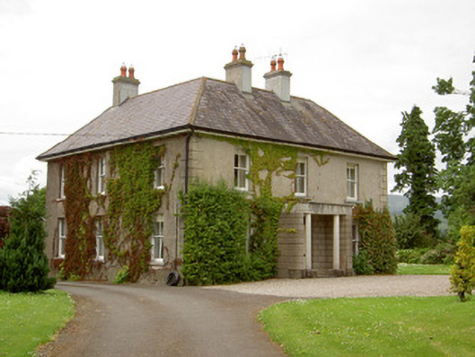 Kilcoran Househouse · 287 yd
 Catholic Church of Our Lady and Saint Kieranchurch/chapel · 1270 yd
 IndicatedEnclosure · 1329 yd
 Ecclesiastical enclosure in WhitechurchEcclesiastical enclosure · 1418 yd
 Knockane Castle ruinsCastle · 1652 yd
 Bawn in CloheenafishogeBawn · 1.1 mi
 Garrycloher WoodForest · 1.5 mi
 Rehill WoodForest · 2.6 mi
 SlieveanardMountain / peak · 3.5 mi
 Slieveanard NE TopMountain / peak · 3.8 mi
 Cahir CastleHeritage attraction · 4.0 miSiege of Cahir Castlesiege · 4.1 mi