What is recorded here
Tubberagleanna Well, or the well of the glen, vanished from every map and resisted every search in Kilcolgan Lower. It may still hide beneath bracken or have drowned under soil, yet the name preserves a place where clean water once touched human prayer. Forgetfulness does not erase the well, though it denies it visibility.
Known as Tubberagleanna Well (Tobar an Ghleanna - the well of the glen), this holy well is not marked on the OS maps and could not be located (Holly 1981, 78).
The above description is derived from C. Toal, ‘North Kerry Archaeological Survey’. Dingle. Brandon in association with FAS Training and Employment Authority (1995), no. 883. In certain instances the entries have been revised and updated in the light of recent research.
Date of upload: 3 August 2013
Linked to St. Colgan, the well is traditionally associated with cures for skin ailments and was likely a site of pilgrimage. Its name, Tobar an Ghleanna, reflects its location in a glen and the sacred landscape of early Christian Ireland.
The monument record does not grant public access. Check the route and ask the landowner before entering private land.
- What survives
- Recorded monument
Places near here
 Ecclesiastical site in LislaughtinEcclesiastical site · 1.1 mi
 Lislaughtin Abbey (in ruins)Religious house, Franciscan friars · 1.1 mi
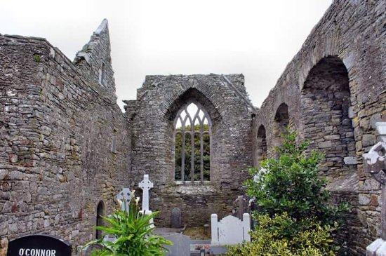 Enclosure in LislaughtinEnclosure · 1.2 mi
 Saint Senans RoadRoad, road/trackway · 1.3 mi
 Carrigafoyle CastleCastle · 1.6 mi
 Carrigafoyle Cas. (in ruins)Castle, tower house · 1.6 mi
 Siege of Carrigafoyle Castlesiege · 1.7 mi
 Carrig IslandIsland · 1.8 mi
 Ballymacrinan BayBay · 2.8 mi
 Fawley's PointHeadland · 3.7 mi
 Scattery IslandIsland · 3.8 mi
 Scattery Island Visitor CentreVisitor information · 3.9 mi