
What is recorded here
This is a segment of a pilgrim's path and is named 'St. Senans Road' in old English lettering on the 1st and 2nd editions of the OS 6-inch maps. It extends for c. 330m in a SW-NE direction into a point on the west side of Ballylongford Bay. It has now been submerged by water from the Shannon Estuary. Cross-reference with KE002-008005-.
Folklore collected in 1938 from Ballylongford School recorded the following tradition about this road; 'In the time that St. Seanan lived in Scattery Island, he ordered that a road should be made all the way from where he was which was Scattery Island to Carrig Island which was about six miles. The road was started in Carrig Island but it is not known whether it was then when the saint ordered it or later on it was started. The road goes out about one mile and a half and can be seen to the present day. The old people say that the reason why it was not finished was that one morning when the men were at work a red haired woman passed them and said nothing. At that the work was stopped because they thought it would not be right to finish it. It can be seen every day when the tide goes out, and it is called "St. Seanan's Road" (The Schools’ Collection, Volume 0403, Page 098; https://www.duchas.ie/en/cbes/4666583/4663949).
Compiled by: Matt Kelleher
Date of upload: 18 November 2013
The monument record does not grant public access. Check the route and ask the landowner before entering private land.
- What survives
- Recorded monument
Places near here
 Carrigafoyle CastleCastle · 719 yd
 Carrigafoyle Cas. (in ruins)Castle, tower house · 722 yd
 Siege of Carrigafoyle Castlesiege · 838 yd
 Church (in ruins)Church · 865 yd
 Causeway in Carrig IslandCauseway · 869 yd
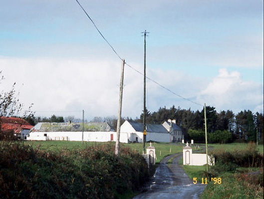 Kilelton Farm Yardfarmyard complex · 882 yd
 Carrig IslandIsland · 950 yd
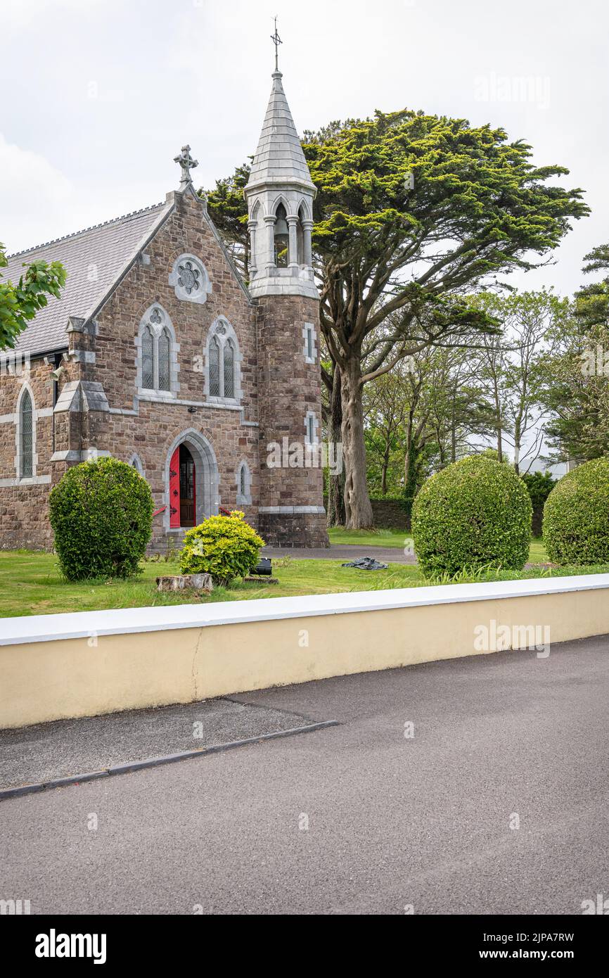 Ecclesiastical enclosure in Carrig IslandEcclesiastical enclosure · 1180 yd
 Fawley's PointHeadland · 2.9 mi
 Scattery IslandIsland · 3.0 mi
 Scattery Island Visitor CentreVisitor information · 3.1 mi
 Ballymacrinan BayBay · 3.1 mi
Other information
Photo: Credit not shown in the picture search · Rights wording not checked; contact us if this picture should be removed