What is recorded here
St Mogue's Well lies 150m northeast of the Gubalaun church, a quiet ritual marker in north Leitrim. John O'Donovan recorded a second well, St Caillin's Well, within a few perches in the 1830s, yet no trace of it remains visible today. The closeness of two holy waters suggests a crowded spiritual landscape where ordinary people once drew water, tied cloths, or whispered prayers beside stone and moss.
The site of St Mogue's Well (LE005-003-003-) lies c. 150m to NE of the church (LE003-003001-) (Davies 1946b, 76-9; Weir 1980a, 173-4), but John O'Donovan writing in the 1830s says that there was a second well called St Caillin's Well within a few perches of it (O'Flanagan 1929, 127). Tobar Callain at Rossinver is on a 17th century list of holy places in north Leitrim (Mooney 1946a, 66). However, no trace of this well could be identified, and it is not known locally.
Compiled by: Michael Moore
Date of upload: 7 January, 2016
St Mogue's Well in Gubalaun is associated with the 7th-century Irish saint Muirchu or Mogue, known for his monastic foundation at Lismore and venerated for cures related to skin ailments and general healing. The well's tradition reflects broader Celtic Christian practices of pilgrimage and water worship linked to saintly intercession.
The monument record does not grant public access. Check the route and ask the landowner before entering private land.
- What survives
- Recorded monument
Places near here
 Not indicateedHoly well · 17 yd
 Ross PointHeadland · 694 yd
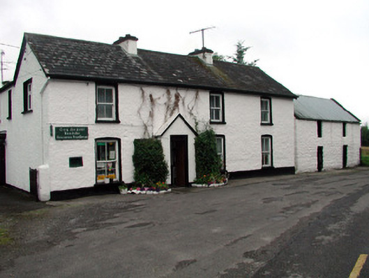 Rossinver Post Officehouse · 1295 yd
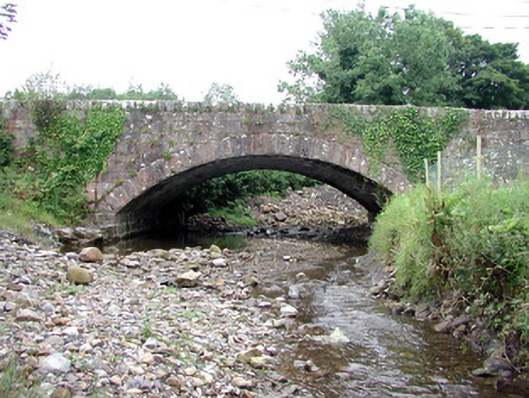 bridgebridge · 1415 yd
 IndicatedFairy fort / ringfort · 1691 yd
 Giant's GraveArchaeological place · 1.1 mi
 Fowley's FallsPicnic place · 1.4 mi
 Sally IslandIslet · 1.9 mi
 Bilberry IslandIslet · 2.0 mi
 Saddle HillMountain / peak · 3.4 mi
 Conwal NorthMountain / peak · 3.5 mi
 Kilroosk RockNamed rock · 4.7 mi