What is recorded here
The official Northern Ireland record identifies this as HOLY WELL. Recorded period: UNCERTAIN. The official map point was placed at the centre of the recorded archaeological site from the source map reference.
Linked to an unidentified saint or local tradition, the Holy Well in Cornabracken is associated with general healing and water-based rituals. Little specific folklore or historical documentation is known, though such wells were often sites of pre-Christian and Christian-era pilgrimage and votive offerings.
The monument record does not grant public access. Check the route and ask the landowner before entering private land.
- What survives
- Recorded monument
Places near here
 COUNTERSCARP RATH in BallygowanCOUNTERSCARP RATH · 393 yd
 HOLY WELL: TUBBERDONEY (unlocated) in Mullaghmenagh Lower (possible); Mullaghmenagh Upper (possible)HOLY WELL: TUBBERDONEY (unlocated) · 1541 yd
 Parochial HouseHouse · 1.2 mi
_-_geograph.org.uk_-_5157658.jpg?width=1280) Trinity Presbyterian ChurchChurch · 1.2 mi
Trinity Presbyterian ChurchChurch · 1.2 mi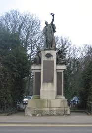 Boar WarMemorial · 1.5 mi
 Omagh Bombing Memorial PillarMemorial · 1.5 mi
 Omagh bombingtruck bombing · 1.5 mi
 PLANTATION CASTLE (site of): CASTLE HILL (unlocated) in BallynahattyPLANTATION CASTLE (site of): CASTLE HILL (unlocated) · 2.9 mi
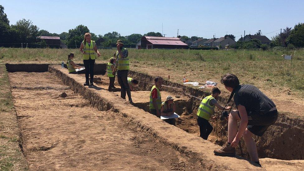 Old MountjoyCastle · 3.5 mi
 PollnalaghtMountain / peak · 3.7 mi
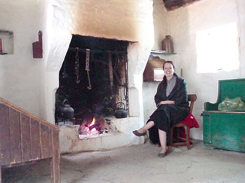 Ulster American Folk ParkMuseum · 4.6 mi
 SeskinoreForest · 5.5 mi