
What is recorded here
This holy well which consists of a hole in the ground measuring 2m by 1.5m across and 1m deep, is revetted by stones. Behind it is a partly grassed-over cairn of loose stones. There is one massive block in the cairn. Beside the well is a waisted stone .22m high. It broadens either side of its constricted middle .22m and 0.12m respectively. It is sited in slightly wettish pasture land and is dedicated to St. Patrick. (Ó Muirgheasa No. 72)
The above description was derived from the 'Archaeological Survey of County Donegal. A description of the field antiquities of the County from the Mesolithic Period to the 17th century.' Compiled by: Brian Lacey with Eamon Cody, Claire Cotter, Judy Cuppage, Noel Dunne, Vincent Hurley, Celie O'Rahilly, Paul Walsh and Seán Ó Nualláin (Lifford: Donegal County Council, 1983). In certain instances the entries have been revised and updated.
Date of upload: 22 September 2008
Linked to Saint Gobban, this holy well was traditionally visited for cures related to skin ailments and general well-being. Pilgrims would often circle the well while making prayers, and small offerings in the form of coins or cloth scraps were left at the site as part of local folklore.
The monument record does not grant public access. Check the route and ask the landowner before entering private land.
- What survives
- Recorded monument
Places near here
 An Leargain Bhreac Cashel and Man-made underground passageFairy fort / stone ringfort · 970 yd
 An Leargain Bhreac Stone Ringfort and StationsFairy fort / stone ringfort · 999 yd
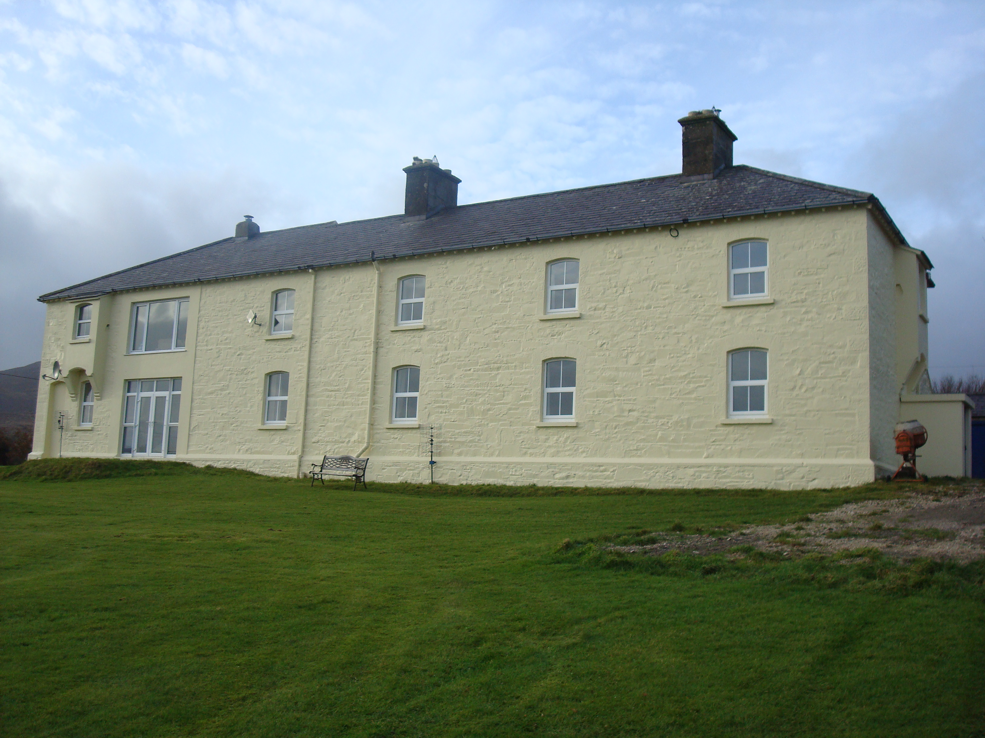 Knockalla Coastguard Stationcoastguard station · 1261 yd
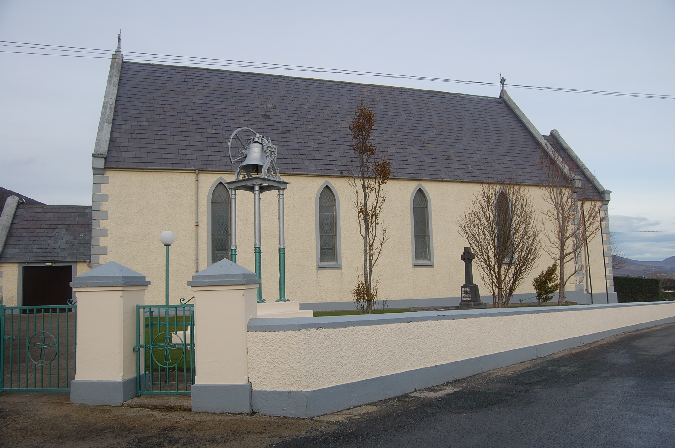 Saint Mary's Catholic Churchchurch/chapel · 1476 yd
 Ballymastocker StrandViewpoint · 1.6 mi
 Wild Atlantic Way:Ballymastocker StrandVisitor information · 1.6 mi
 PortsalonOfficial bathing water · 2.3 mi
 Dunree HeadHeadland · 2.6 mi
 Castle Ross (Site of)Castle, unclassified · 2.8 mi
 Stragill BeachBeach / strand · 3.6 mi
 Croaghan HillMountain / peak · 3.8 mi
 Wych ElmWych Elm · 4.2 mi
Other information
Photo: Credit not shown in the picture search · Rights wording not checked; contact us if this picture should be removed