
What is recorded here
Internal diam. c. 20m. A ruined drystone wall encloses an area roughly circular in plan. The outer face is visible much of the way round and the inner face for two short stretches between N and NNE, where the wall ranges from 2.6m to 3m in width. The inner and outer faces now average c. 0.5m in height. Modern build-up obscures the inner face to the W of a modern, stone field wall which crosses the site from N to SE. The cashel wall has been removed for a 10m stretch from the S to the Wedge of the modern dividing field wall but a slight scarp seems to mark the line of its inner face. Outside the line of the cashel wall here there is a bank of earth and stones which joins the cashel wall on the S and combines with it to mark the E side of a lane that curves around the cashel on the S and W. The interior is grass-covered and follows the slight down-ward slope of the surrounding ground. On the S there is a slight depression measuring c. 3m by c. 1m and c. 0.3m deep which is grass-covered and stony under-foot. The site is on a gentle S-facing slope but to the N and NW the ground begins a steady rise to the Knockalla Mountain Range. This is light-soiled grazing land with much rock outcrop occurring.
The above description was derived from the 'Archaeological Survey of County Donegal. A description of the field antiquities of the County from the Mesolithic Period to the 17th century.' Compiled by: Brian Lacey with Eamon Cody, Claire Cotter, Judy Cuppage, Noel Dunne, Vincent Hurley, Celie O'Rahilly, Paul Walsh and Seán Ó Nualláin (Lifford: Donegal County Council, 1983). In certain instances the entries have been revised and updated.
Date of upload: 22 September 2008
The official description records surviving remains. Its missing or destroyed wording refers only to one part of this place or to a different nearby feature. The monument record does not grant public access. Check the route and ask the landowner before entering private land.
- What survives
- Visible or partial remains survive
Places near here
 An Leargain Bhreac Cashel and Man-made underground passageFairy fort / stone ringfort · 97 yd
 Holy well in CarngarrowHoly well · 999 yd
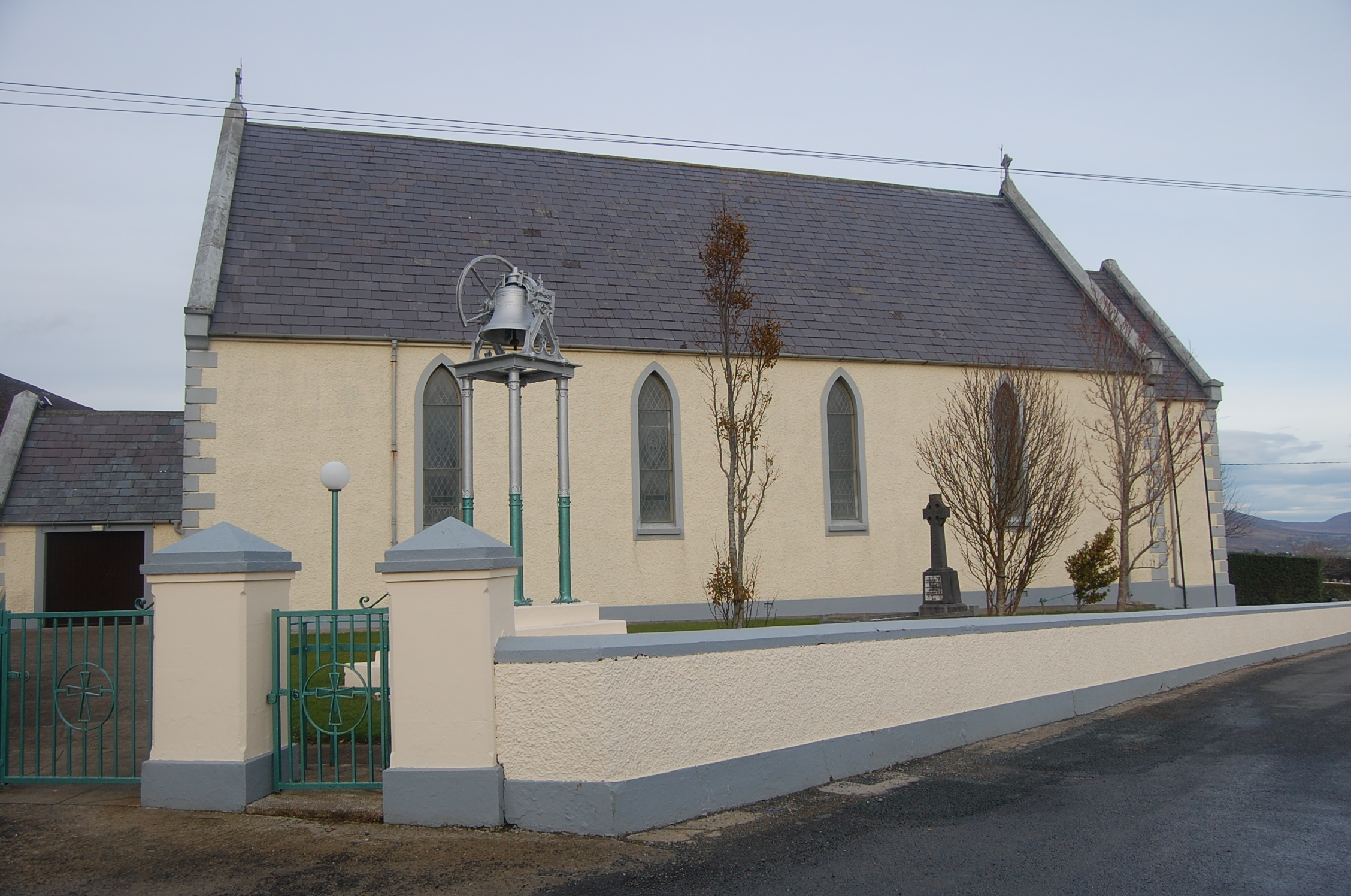 Saint Mary's Catholic Churchchurch/chapel · 1019 yd
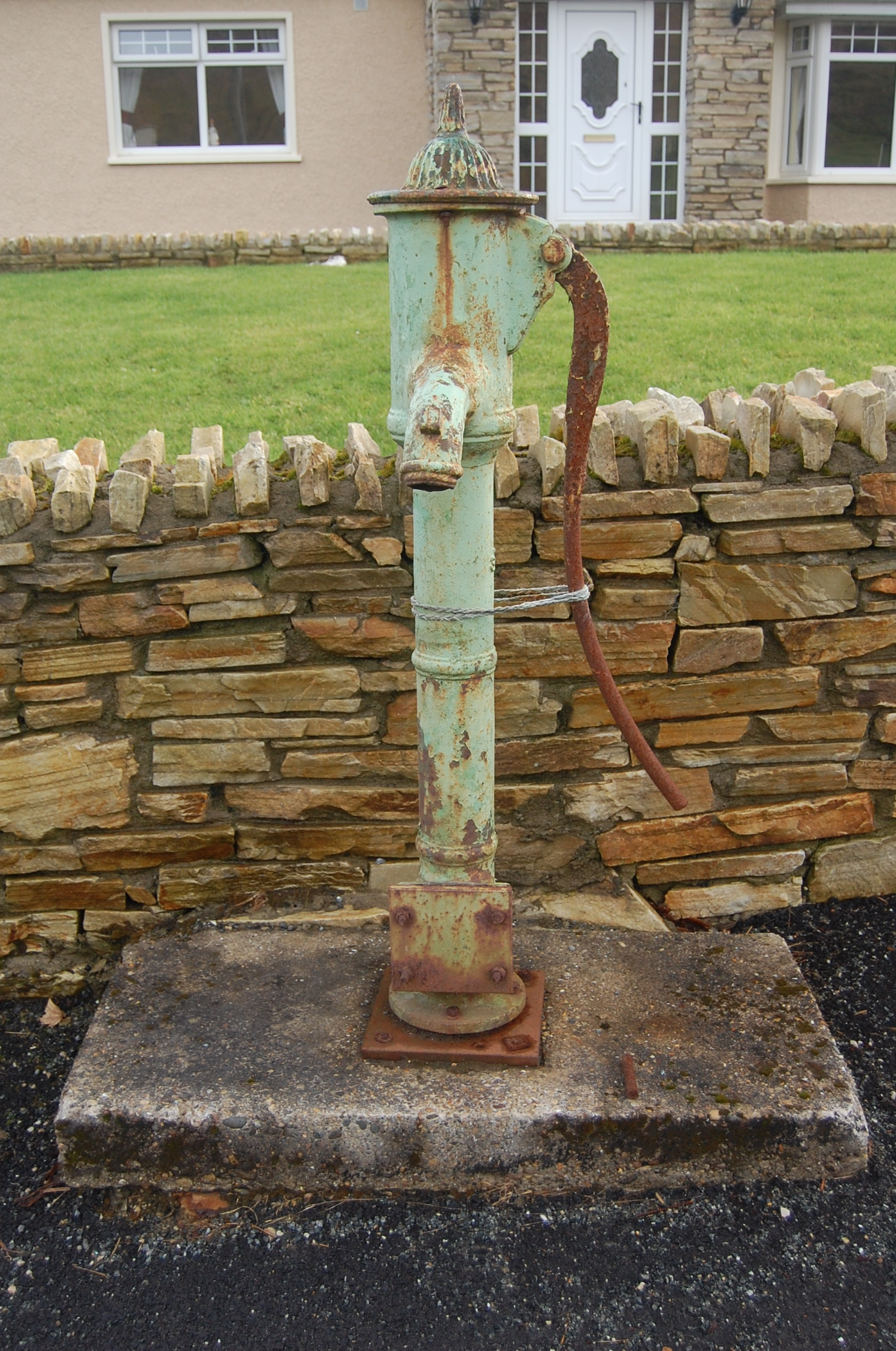 water pumpwater pump · 1289 yd
 Ballymastocker StrandViewpoint · 1.3 mi
 Wild Atlantic Way:Ballymastocker StrandVisitor information · 1.3 mi
 PortsalonOfficial bathing water · 1.9 mi
 Dunree HeadHeadland · 2.7 mi
 Castle Ross (Site of)Castle, unclassified · 3.1 mi
 Wych ElmWych Elm · 3.9 mi
 Croaghan HillMountain / peak · 4.0 mi
 Stragill BeachBeach / strand · 4.1 mi
Other information
Photo: Credit not shown in the picture search · Rights wording not checked; contact us if this picture should be removed