
What is recorded here
In a shallow depression at the foot of a N-facing slope, in tree-covered marshy ground surrounded by pasture. Indicated and labelled ‘Holy Well’ on both the first (1842) and Cassini (1920) editions of the OS 6-inch map. This holy well is enclosed by a modern D-shaped well-house with an almost straight W side (L 1.8m),…
Read the whole record
From the National Monuments Service (Archaeological Survey of Ireland) record CL012-002
Places near here
Photo credits
- P L Chadwick, Geograph · Creative Commons Attribution-ShareAlike 2.0
- Maker not stated on source page, www.dreamstime.com
- Maker not stated on source page, it.pinterest.com
- Maker not stated on source page, www.pinterest.com
- Maker not stated on source page, en.wikipedia.org
- Maker not stated on source page, allthatsinteresting.com
- Kmcnamee, Wikimedia Commons · CC BY-SA 4.0
- colm, Wikimedia Commons · CC BY-SA 2.0
- Maker not stated on source page, account.travel
- Kilmaley GAA Club (publisher; photographer not named), Source publisher
- Maker not stated on source page, www.istockphoto.com
 Bleach BridgeBridge · 1.8 mi
Explorer Tom Bleach Bridge in Island More ended up in the wrong place because the mapmaker had too much tea. It crosses a river that…
 White SandsBeach / strand · 1.9 mi
Explorer Tom White Sands isn’t white because of purity or magic, but because a ghost sneezed so hard he blew all the colour out of…
 Megalithic structure in CorbehaghMegalithic structure · 2.8 mi
Explorer Tom Megalithic structure in Corbehagh is just two rows of stones that didn't finish building a wall. It's proud of its…
 Megalithic structure in Killanena (tulla Upper By.)Megalithic structure · 3.3 mi
Explorer Tom Megalithic structure in Killanena is being guarded by a dog who thinks he's the boss of history. He hasn't barked once…
 Fairy fort / stone ringfort in Killanena (tulla Upper By.)Fairy fort / stone ringfort · 3.3 mi
Explorer Tom Fairy fort / stone ringfort in Killanena was run by a matchmaker who paired off any two people who entered without…
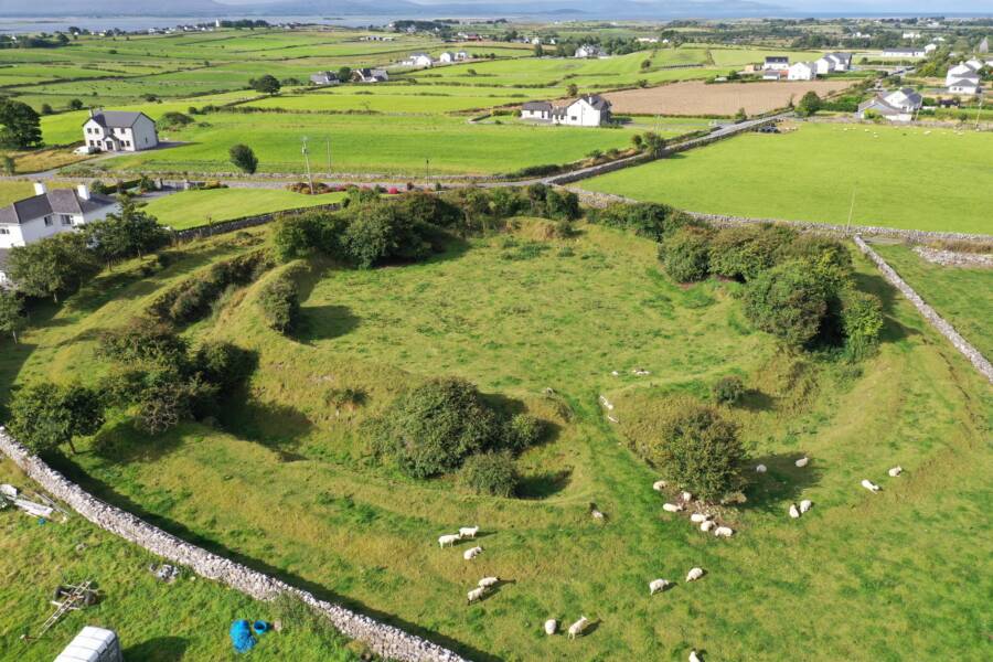 Fairy fort / ringfort in KilcrimpleFairy fort / ringfort · 3.4 mi
Explorer Tom Fairy fort / ringfort in Kilcrimple is near Ballyturin Lough but basically invisible now. The aerial imagery shows a…
 Killanena GAA pitchGAA ground · 3.5 mi
 Church (in ruins)Church · 4.3 mi
Explorer Tom Church in Parsons Island on Lough Cutra is a reality show reject because it has no personality. Just a stone box hiding…
 MagheraMountain / peak · 4.6 mi
Explorer Tom Maghera used to be a smuggling route for people who wanted to sneak past the law without getting caught by the local…
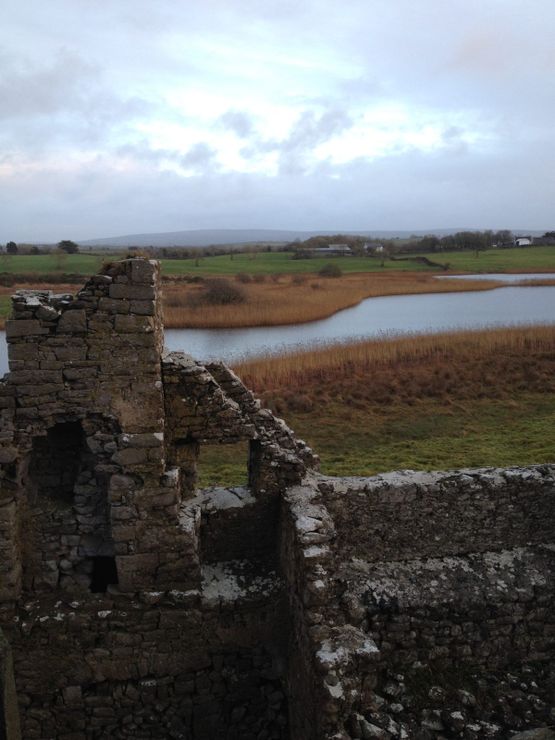 Castle (in ruins)Castle, tower house · 5.0 mi
Explorer Tom Castle in Ballyconnell had a poet fall into the ditch nearby once. He wrote a famous sonnet about it, but nobody could…
 Kilmaley GAA LisbiggeenGAA ground · 23 mi
Explorer Tom Kilmaley's Lisbiggeen ground is the club's newer hurling home, with two pitches, a walkway and enough space for…
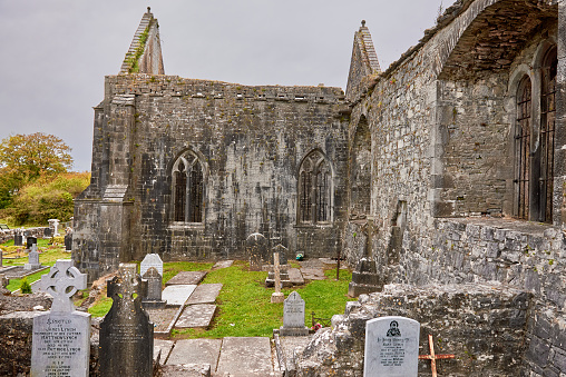 Mapped graveyardGraveyard · 24 mi
Explorer Tom This Mapped graveyard in County Clare plans to retire by moving into a nice quiet field where no one can find it. It’s…
More archaeology and monuments in County Clare · All of County Clare

What do you know about this place?Tap to add a comment or ask a question