What is recorded here
'St. Columbkille's well (DG009-006002-), modernised and surrounded by a cairn (DG009-006001-) of stones left by pilgrims (Ó Muirgheasa No. 70). It is situated to the E of a base of a steep cliff.' (Lacy 1983, 302) Described by Ó Muirgheasa in 1936 as 'Tobar Colmcille, in Doughcrabin townland, near Doaghbeg School in Fanad. Stations are still made on Colmcille's Day, 9th June, as follows: Station-5 paters and aves on front of well: next 7 paters and aves to left of well: then, having gone around behind well sunwise, 7 paters and aves to right of well. Repeat three times. Then walk three times around the well, throwing a pebble on mound each time, and finish by prayer (your petitions) in front of well. Bring away a bottle of water from the well' (Ó Muirgheasa 1936, 154). Upon inspection in 2011 it was recorded that the well was covered by two flat slabs resting upon two rectangular piers composed of mostly small, irregularly-shaped mortared stones. This structure was erected in 2010. Votive offerings: statues, roasary beads, crosses, biros, flowers, stones, pictures and coins have been placed upon the slabs.
The above description was derived from the 'Archaeological Survey of County Donegal. A description of the field antiquities of the County from the Mesolithic Period to the 17th century.' Compiled by: Brian Lacy with Eamon Cody, Claire Cotter, Judy Cuppage, Noel Dunne, Vincent Hurley, Celie O'Rahilly, Paul Walsh and Seán Ó Nualláin (Lifford: Donegal County Council, 1983). In certain instances, including this, the entries have been revised and updated.
Compiled by: Caimin O'Brien and Patrick O'Donovan
Date of upload/revision: 24 November 2011
Linked to St. Columbkille, the well is associated with traditional pilgrimage practices, as evidenced by the cairn of stones left by visitors. Local tradition suggests the site was used for healing rituals, though specific cures are not recorded.
The monument record does not grant public access. Check the route and ask the landowner before entering private land.
- What survives
- Recorded monument
Places near here
 HazelHazel · 20 yd
 Old CastleCastle, unclassified · 593 yd
 Wych ElmWych Elm · 1170 yd
 Carrablagh Housecountry house · 1267 yd
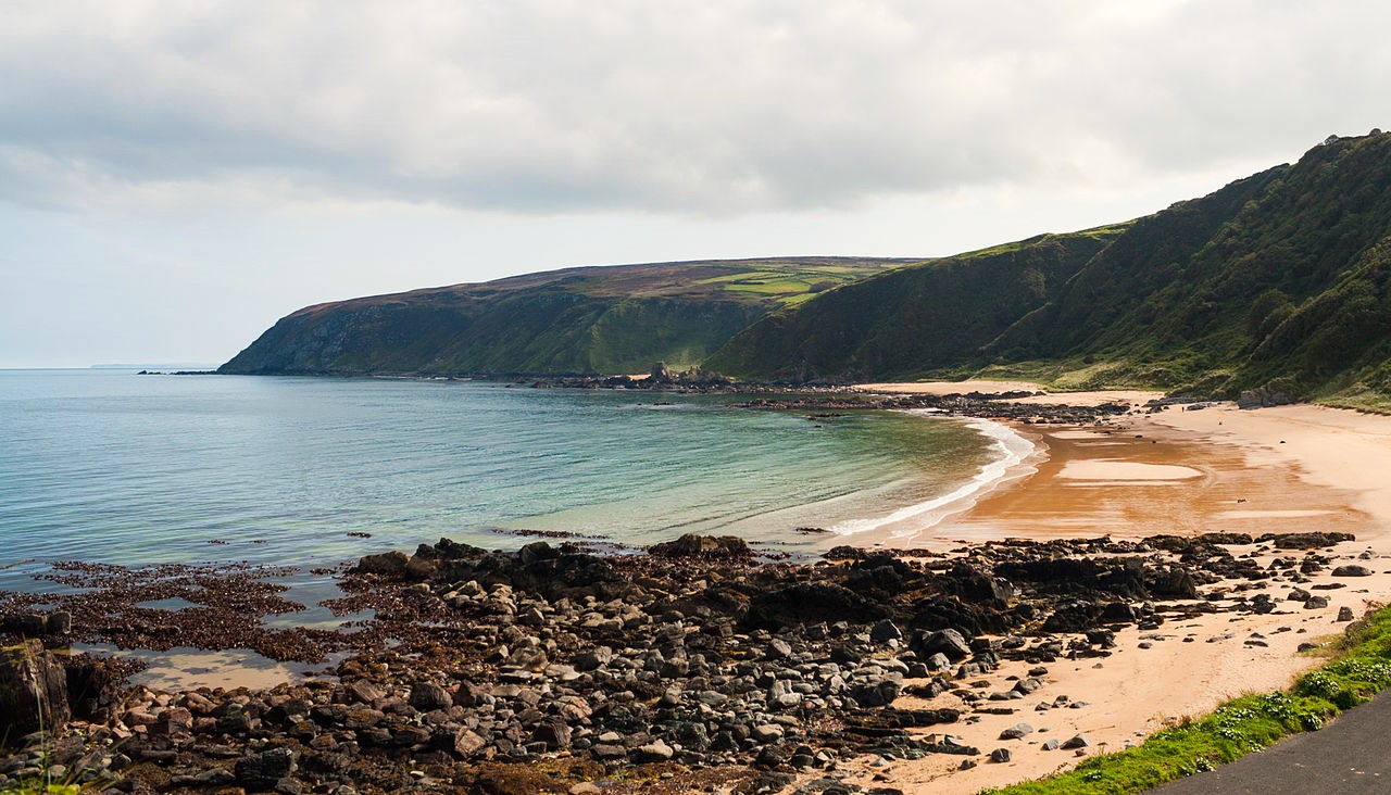 Drumnacraig BeachBeach / strand · 1319 yd
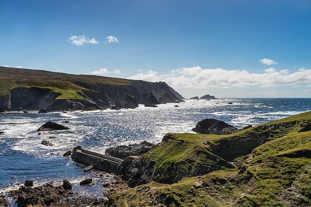 Promontory fortPromontory fort, coastal · 1442 yd
 Fortification in CroaghrossFortification · 1597 yd
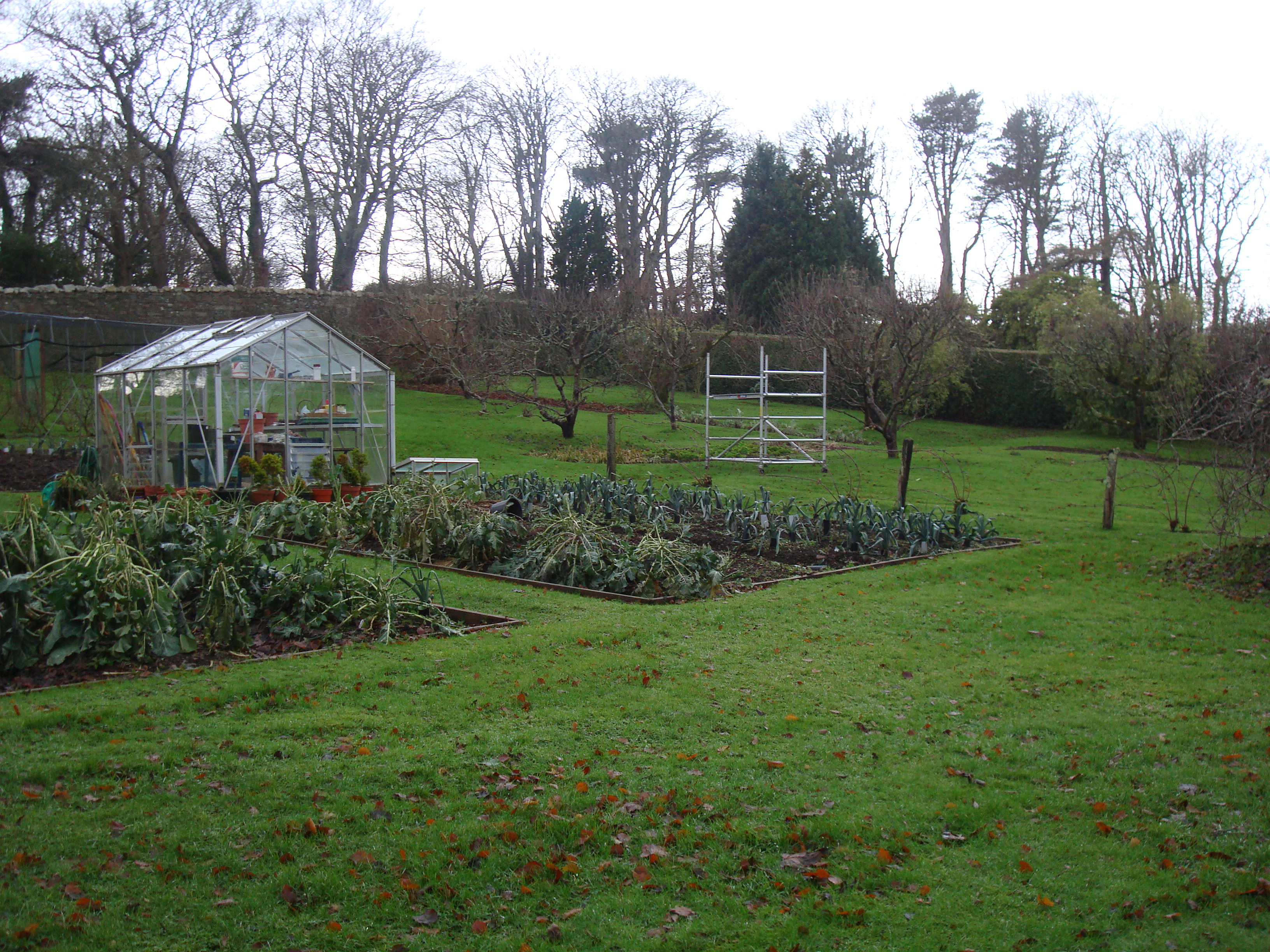 Greenfortwalled garden · 2.1 mi
 PortsalonOfficial bathing water · 2.6 mi
 Wild Atlantic Way:Ballymastocker StrandVisitor information · 3.1 mi
 Ballymastocker StrandViewpoint · 3.2 mi
 Dunree HeadHeadland · 3.4 mi