What is recorded here
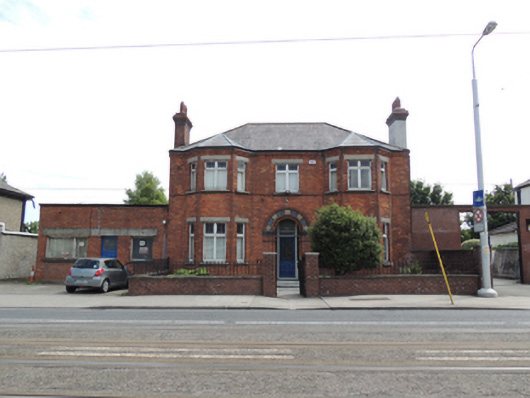
Detached three-bay two-storey former house, built c.1900, having full-height canted bay windows with hipped roofs to front (west) elevation, five-bay single-storey extension to rear built c.1940, and three-bay single-storey extension to north. Now in use as offices. Hipped slate roof with stepped red brick chimneystacks to north and south elevations. Red brick walls to front elevation, laid in English garden wall bond, with moulded brick eaves course and plinth course. Lined-and-ruled rendered walls to other elevations. Square-headed window openings having rusticated granite lintel, cut granite sills and early timber casement windows with stained-glass top-lights. Full-width single-storey extension to rear elevation, having horizontal window band separated by engaged piers. Round-headed porch opening having red brick surround with moulded red, yellow and grey brick voussoirs. Recessed square-headed door opening having half-glazed carved timber panelled door, stained glass sidelights and opaque overlights. Curved granite steps, having ‘HOLLYBROOK’ mosaic to top step. Recent red brick boundary walls to Naas Road with wrought-iron railings and pedestrian gate to west. Retains interior features
A house named Hollybrook appears on this site the first edition Ordnance Survey map of 1844, and Griffith’s Valuation c.1850 records a house, offices, mill and land leased to George Pim. The valley of the Camac River to the east was the siting of a number of mills in the past. However, the character of this house is later, with the machine-made red brick, bay windows and coloured glass all typical of the late Victorian or Edwardian era. The form and symmetrical proportions create a pleasing elevation. The ornate stained glass windows and decorative door to the entrance porch add artistic interest, and the early windows and doors create a patina of age. Hollybrook House predates the large-scale residential and industrial development of the Naas Road and Bluebell in the mid twentieth century.
This does not grant access. Most recorded buildings are privately owned; view them only from public ground unless the owner allows entry.
Places near here
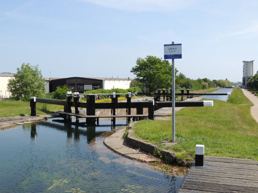 Grand Canallock · 359 yd
 Our Lady of the Waysidechurch/chapel · 501 yd
 Carriglea Industrial EstateMemorial · 645 yd
 Mote (site of)Castle, motte · 1325 yd
 Irish Citizen ArmyMemorial · 1498 yd
 Windmill in Unknown TownlandWindmill · 1527 yd
 Toni'sPicnic place · 1565 yd
 Tumulus (site of)Linkardstown burial · 1600 yd
 Kilmainham Jail MuseumMuseum · 1.1 mi
 Gairdín Foirmiúil Ospidéal Ríoga Chill MhaighneannVisitor information · 1.5 mi
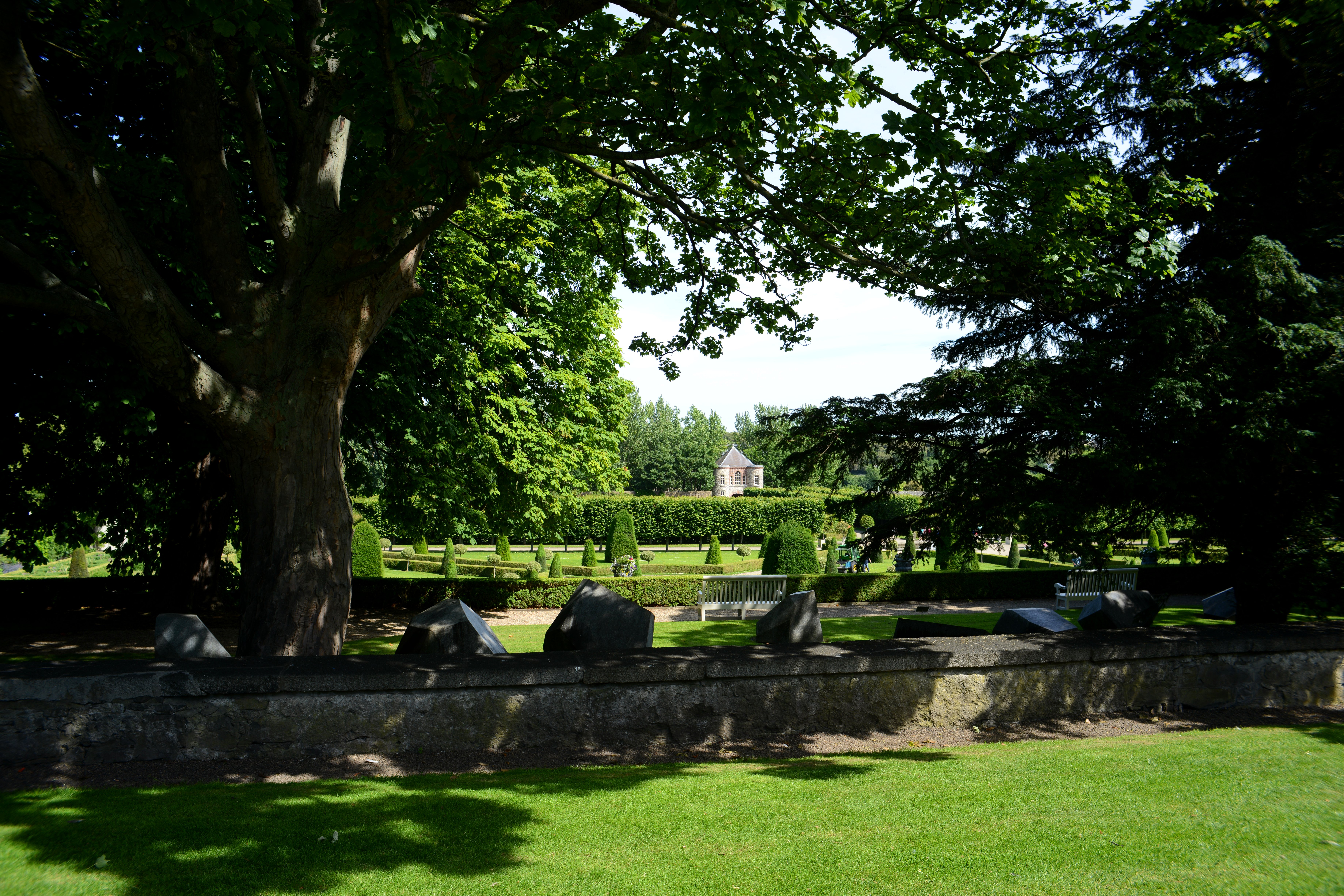 The Formal Garden at The Royal Hospital KilmainhamHeritage attraction · 1.5 mi
 Horse-chestnutHorse-chestnut · 1.7 mi
Other information
Photo: National Inventory of Architectural Heritage · Website use allowed for educational or private purposes with source credit