What is recorded here
Holed stone described in 1942-3 as following; 'This is a flag of limestone well weathered and worn. It looks ancient. It is 5' [1.5m] high and at the base measures 1' 3" [0.38m] wide by 6" [0.15m] thick, but for the greater part of its height it is 3½" [0.09m] to 4" [0.1m] thick. At a distance of 9" [0.23m] from the centre point of the top edge of the stone a small hole is bored right through. The section of the boring is conical and measures 2" [0.05m] in diameter on the south west face and 1" [0.02m] on the north-east. Locally it is believed to be ancient. It is possible that it was at one time a stone used as a gate post and later erected as a cattle scratching post' (O'Kelly 1942-3, 237).
Compiled by: Caimin O'Brien
Date of upload: 4 March 2020
The monument record does not grant public access. Check the route and ask the landowner before entering private land.
- What survives
- Recorded monument
Places near here
 BarrowBarrow, unclassified · 339 yd
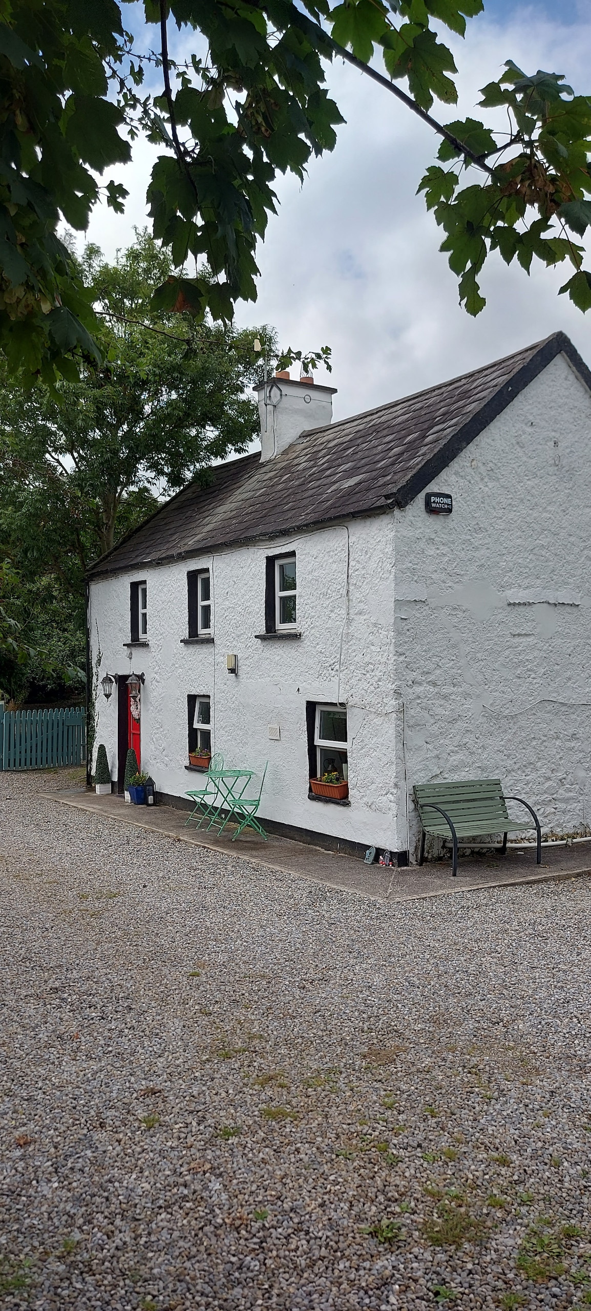 Enclosure in CastlefarmEnclosure · 372 yd
 Ahnageeragh Bridgebridge · 693 yd
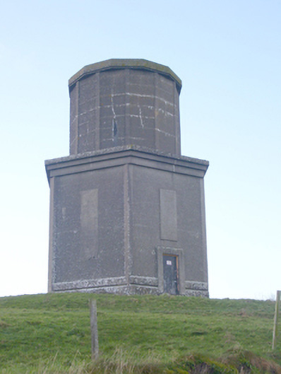 water towerwater tower · 927 yd
 CastleCastle, motte · 1.2 mi
 Flat cemetery in Knockainy WestFlat cemetery · 1.6 mi
 CashlanCastle, unclassified · 1.8 mi
 Kilteely HillMountain / peak · 2.7 mi
 St. Patrick's WellSpring · 3.2 mi
 St Patrick's WellSpring · 3.6 mi
 Ballinvreena LoopVisitor information · 6.3 mi
 SlievereaghMountain / peak · 7.1 mi