What is recorded here
The following description is derived from both the published 'Archaeological Inventory of County Louth' (Dublin: Stationery Office, 1986) and the 'Archaeological Survey of County Louth' (Dublin: Stationery Office, 1991). In certain instances the entries have been revised and updated in the light of recent research.
Date of upload/revision: 17 July 2007
Situated in low-lying pasture, overlooked by a broad ridge to S and SE. Roughly square-shaped slab (max. dims. H 1.7m, 1.8m by 0.3m in section) orientated roughly N-S. Slightly off-centre is an hourglass perforation (diams. 0.2-0.25m) which gives the name to the stone and to the townland. (CLAJ 1914, pl. opp. 248; 1929, 59; 1962, 164)
The monument record does not grant public access. Check the route and ask the landowner before entering private land.
- What survives
- Recorded monument
Places near here
 CastleCastle, unclassified · 145 yd
 Enclosure in PurcellstownEnclosure · 480 yd
 Enclosure in HurlstoneEnclosure · 732 yd
 R.C. ChapelChurch · 1092 yd
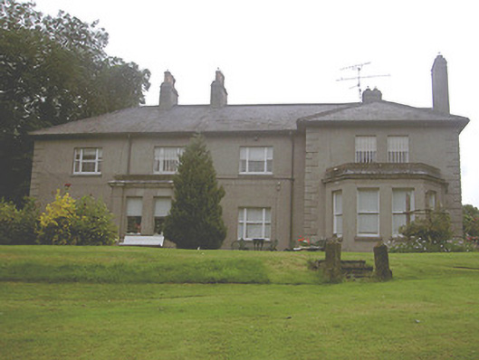 Kilpatrick Housecountry house · 1098 yd
 Screedoge HillMountain / peak · 1231 yd
 Valley WoodWood · 1359 yd
 European White ElmEuropean White Elm · 2.0 mi
 Sir Frederick Foster MemorialMemorial · 2.4 mi
 Dawsons MoatCastle, motte and bailey · 2.6 mi
 Gun HillMountain / peak · 3.3 mi
 Graveyard in StickillinGraveyard · 3.3 mi