What is recorded here
Known in medieval documentation as Newcastle MacKynegan this was a royal manor situated almost halfway along the coastal route from Bray to Wicklow. A grant of tolls for repairing walls was received in 1303-4 (Lewis 1837, vol. 2, 427) and documents of 1304-5 indicate that there were 191 burgages and two mills in the settlement (Orpen 1908, 135). The borough centred on the castle (WI019-005002-), the motte (WI019-005004-) and the church (WI019-005001-). A mill (WI019-005003-), gaol and courthouse are also mentioned in 1228 (ibid., 129). Lewis (1837, vol. 2, 427) mentions two other castles but the sites of these are unknown. The town appears to have been deserted after the fourteenth century. (Bradley and King 1989, 62-7)
The above description is derived from the published 'Archaeological Inventory of County Wicklow' (Dublin: Stationery Office, 1997). In certain instances the entries have been revised and updated in the light of recent research.
Date of upload/revision: 17 December 2008
The monument record does not grant public access. Check the route and ask the landowner before entering private land.
- What survives
- Recorded monument
Places near here
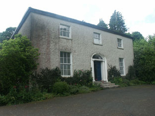 Millbrook Househouse · 150 yd
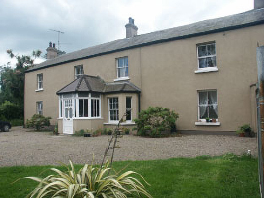 Oaklawnhouse · 168 yd
 Castle (in Ruins)Castle, ringwork · 225 yd
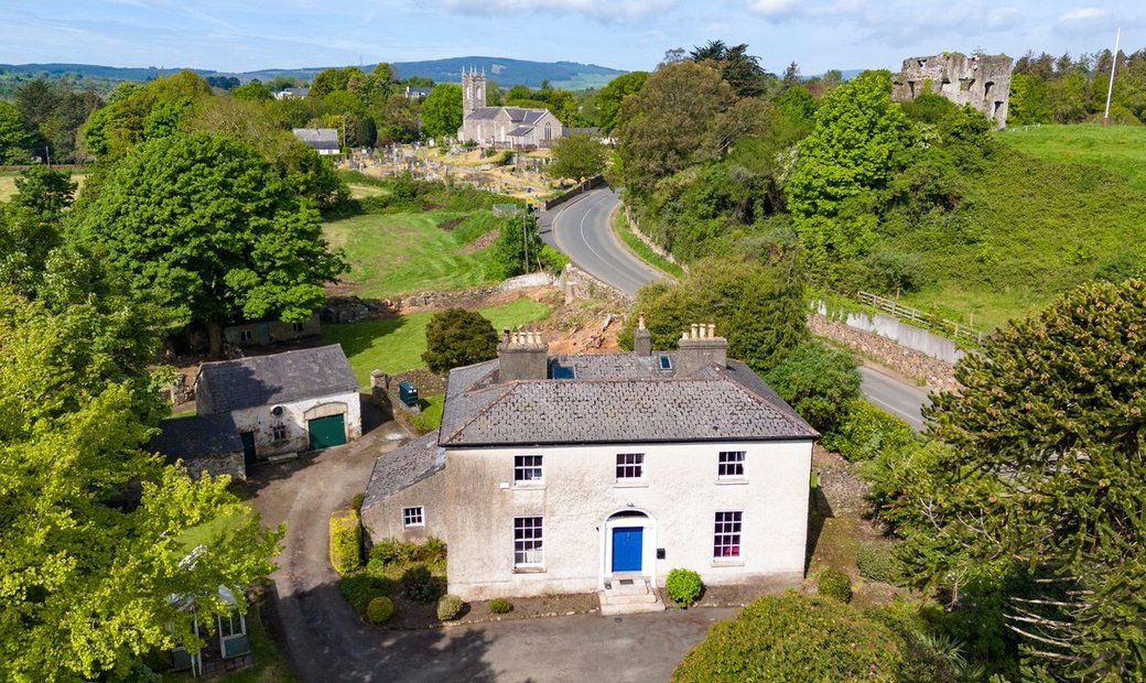 Enclosure in Newcastle LowerEnclosure · 765 yd
 IndicatedFairy fort / earthen ringfort · 770 yd
 East Coast Nature ReserveNature reserve · 1.2 mi
 CastleCastle, ringwork · 1.5 mi
 Leamore StrandBeach / strand · 1.6 mi
 SycamoreSycamore · 1.6 mi
 Glenroe FarmHeritage attraction · 3.0 mi
 Delgany Heritage TrailWalking route · 4.5 mi
 Greystones South BeachBeach / strand · 4.9 mi