What is recorded here
Incheleffer, now Lissardowlan, held weekly markets and yearly fairs under Verdon lords before war and vacancy erased its clustered shape. John O'Ferrall later raised a castle on the same ground in 1377, yet no wall, lane or stone still marks the town that vanished.
Lissardowlan has been identified as the manor and borough of Incheleffer/Hincheleder (Otway-Ruthven 1968, 414-5, MacNiocaill 1977, 54-6). There are several references to Incheleffer in the Irish Pipe Roll of 14 John covering the years 1210-12 (Davies and Quinn 1941, 21). A settlement, with borough status, was established by the mid 1230s when a burgage at 'Yncheleser' is mentioned in a charter of Walter de Lacy c. 1235 (MacNiocaill 1977, 55). In 1241, after the death of Walter de Lacy, the manor of Incheleffer passed into the hands of John de Verdon (Bradley et al. 1985, 31). In 1284 King Edward I granted Theobald de Verdon the right to hold a weekly market and a yearly fair. After 1319 the lands of Lissardowlan were described as part of the manor of Lough Sewdy, which were waste lands and desolate due to war and lack of tenants (Otway-Ruthven 1968, 401, 435). This suggests a possibly decline and abandonment of a nucleated Anglo-Norman settlement at Lissardowlan or the possibility that there was never a clustered medieval settlement here (O'Conor and De Meulemeester 2007, 89). It is also possible that the settlement may have been a 'rural borough' (ibid. 88), which would have consisted of a dispersed agricultural settlement rather than a formal nucleated settlement. The land and manor of Lissardowlan were taken over in the following decades by the O'Ferralls, whose chieftain, John O'Ferrall, Lord of Annaly, built a castle (LF014-071002-) there in 1377 (AFM). No visible surface traces of this settlement survive and its exact location is unknown.
Compiled by: Caimin O'Brien
Date of upload: 18 September 2013
The monument record does not grant public access. Check the route and ask the landowner before entering private land.
- What survives
- Recorded monument
Places near here
 CastleCastle, Anglo-Norman masonry castle · 274 yd
 Bawn in LissardowlanBawn · 291 yd
 Field boundary in LissardowlanField boundary · 313 yd
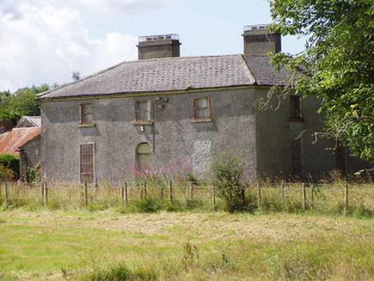 Rosemount Househouse · 652 yd
 Man-made underground passage in CloonahardMan-made underground passage · 910 yd
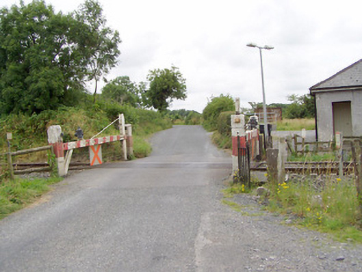 level crossinglevel crossing · 1176 yd
 Oldtown DemesneForest · 1.8 mi
 Oldtown CopseWood · 1.9 mi
 Saint Mel's CathedralCathedral · 3.2 mi
 First World War MemorialMemorial · 3.2 mi
 Graveyard in Curry (ardagh By., Coolamber Ed)Graveyard · 4.5 mi
 Bully's Acregraveyard/cemetery, unknown · 5.0 mi