What is recorded here
Moneyslane is a post-medieval settlement in County Down, Ireland, where human life clustered around the practical needs of survival and memory. The exact layout has faded, but the name remains, carrying the weight of generations who shaped the land with their hands. What is lost is not oblivion; it is simply waiting for someone to notice the shape of what remains.
The official Northern Ireland record identifies this as Historic Settlement Moneyslane. Recorded period: POST-MED. The official map point was placed at the centre of the recorded archaeological site from the source map reference.
The monument record does not grant public access. Check the route and ask the landowner before entering private land.
- What survives
- Recorded monument
Places near here
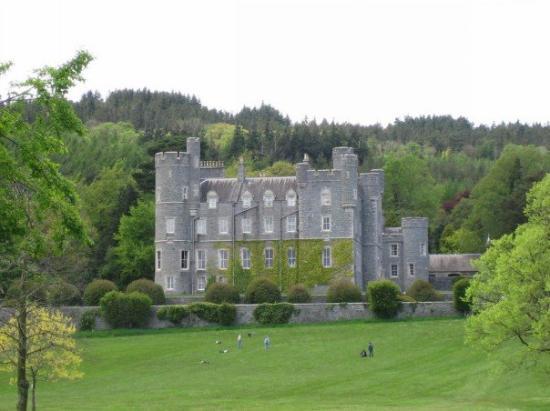 CROSS, formerly built into school, now at Castlewellan Forest Park in DrumadonnellCROSS, formerly built into school, now at Castlewellan Forest Park · 343 yd
 CHURCH & GRAVEYARD: DRUMGOOLAND in DeehommedCHURCH & GRAVEYARD: DRUMGOOLAND · 1.1 mi
 ENCLOSUREENCLOSURE, rath · 1.1 mi
 Drumgooland Presbyterian ChurchChurch · 1.2 mi
 Historic Settlement Dechomet in DeehommedHistoric Settlement Dechomet · 1.2 mi
 CASTLE & RATH reused as BAILEY: SEAFIN CASTLE; Magh Cobha; Moycove in SeafinCASTLE & RATH reused as BAILEY: SEAFIN CASTLE; Magh Cobha; Moycove · 1.6 mi
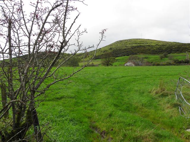 Deehommed MountainMountain / peak · 1.9 mi
 The Moat PadWalking route · 1.9 mi
 SlievenaboleyMountain / peak · 2.4 mi
 The Brontë CentreVisitor information · 2.9 mi
 Kilcoo GraveyardWalking route · 4.2 mi
 Knockiveagh Picnic SitePicnic place · 4.4 mi