What is recorded here
The official Northern Ireland record identifies this as Historic Settlement Clady. Recorded period: POST-MED. The official map point was placed at the centre of the recorded archaeological site from the source map reference.
The monument record does not grant public access. Check the route and ask the landowner before entering private land.
- What survives
- Recorded monument
Places near here
 BATTLE SITE: in 789 AD & BATTLE OF THE FORDS , Southern crossing, 1689 in Clady; DonnygowanBATTLE SITE: in 789 AD & BATTLE OF THE FORDS , Southern crossing, 1689 · 244 yd
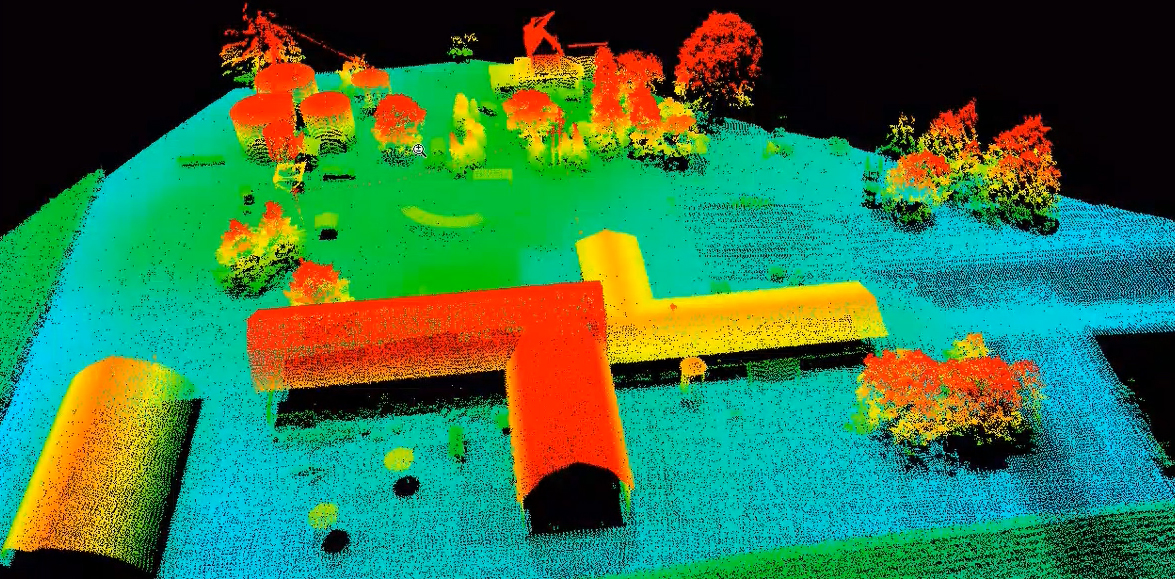 LiDAR site- Possible curvilinear enclosure in DonnygowenLiDAR site- Possible curvilinear enclosure · 280 yd
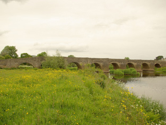 Clady Bridgebridge · 289 yd
 Enclosure in Cloghfin (castlefin Ed)Enclosure · 917 yd
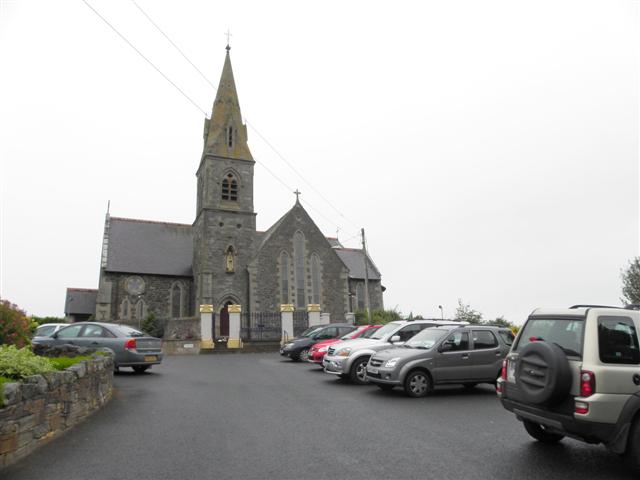 St. Columba's Catholic Churchchurch/chapel · 1242 yd
 OutlinedBawn · 2.0 mi
 CastleCastle, unclassified · 2.0 mi
 Croaghan HillMountain / peak · 2.2 mi
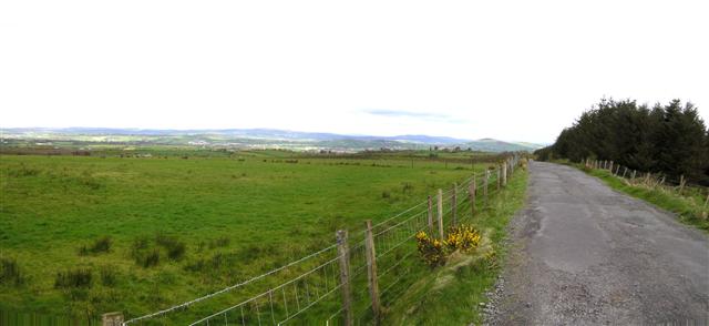 Fearn HillMountain / peak · 2.8 mi
 BATTLE SITE: BATTLE OF THE FORDS, Central crossing, 1689 in Magirr; Town Parks OF StrabaneBATTLE SITE: BATTLE OF THE FORDS, Central crossing, 1689 · 3.6 mi
 Gray PrinterHeritage attraction · 3.8 mi
 1916 Easter Rising Memorial StoneMemorial · 3.9 mi