What is recorded here
Ballynahinch, County Down, Ireland: Post-medieval historic settlement, recorded on the official map at the centre of its archaeological site. The name repeats itself because the town and the old settlement share one identity. Stones, roads and memory still move through the place, even when the visible shape has changed.
The official Northern Ireland record identifies this as Historic Settlement Ballynahinch. Recorded period: POST-MED. The official map point was placed at the centre of the recorded archaeological site from the source map reference.
The monument record does not grant public access. Check the route and ask the landowner before entering private land.
- What survives
- Recorded monument
Places near here
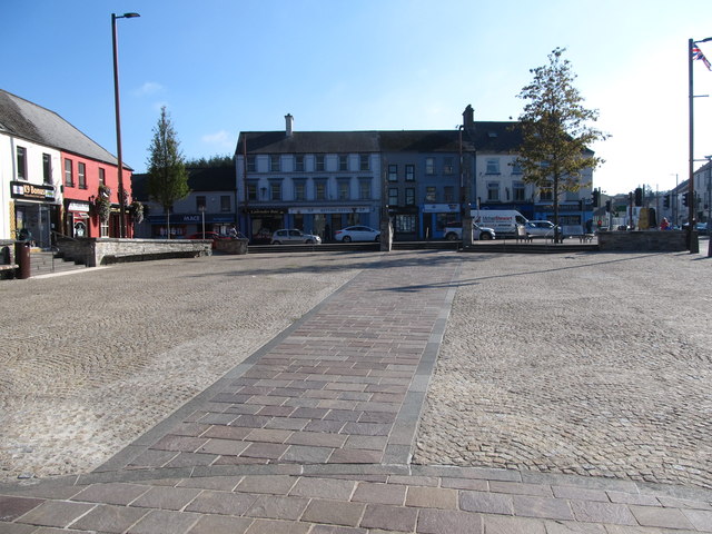 Market DayVisitor information · 14 yd
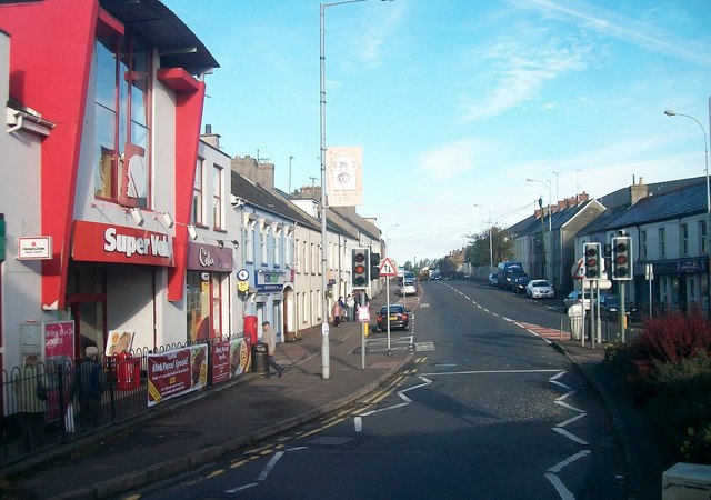 Lisburn Street South Car ParkVisitor information · 119 yd
 First Presbyterian ChurchChurch · 213 yd
 Windmill HillMountain / peak · 576 yd
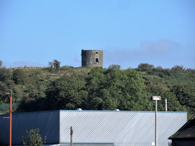 WINDMILL STUMPWINDMILL STUMP, IHR 03039 · 577 yd
 Windmill Hill WoodWood · 714 yd
 Battle of Ballynahinchbattle · 1115 yd
 Corn MillMill · 1149 yd
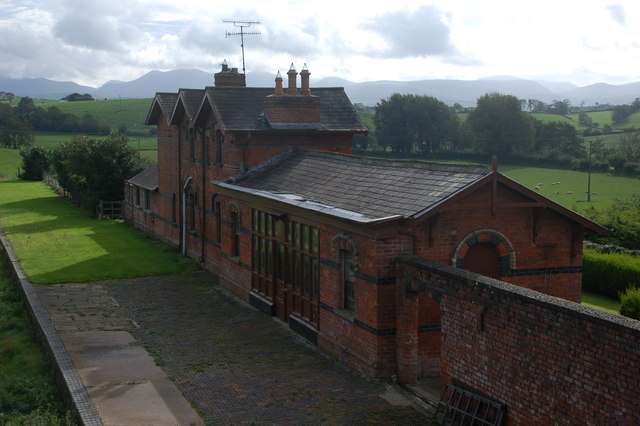 ENCLOSURE in Ballylone LittleENCLOSURE · 1.2 mi
 FORTIFICATION: McCARTAN'S CASTLE (unlocated) in MagheratimpanyFORTIFICATION: McCARTAN'S CASTLE (unlocated) · 2.7 mi
 Glen LoaninWalking route · 3.6 mi
 Dunmore MountainMountain / peak · 4.1 mi