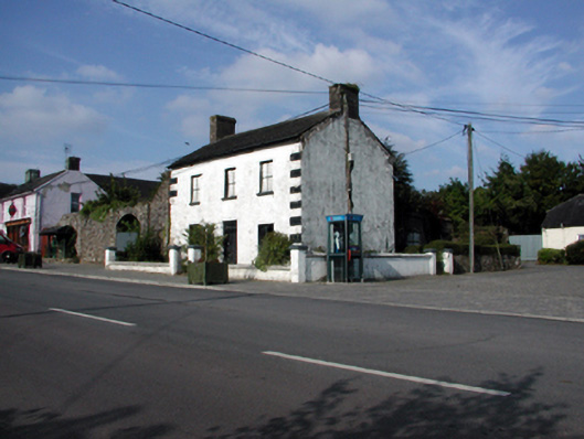
What is recorded here
Section of random rubble stone boundary wall, c.1830, with random rubble stone advanced piers flanking segmental-headed carriageway having squared rubble stone voussoirs. Now partly collapsed. Set back from line of road with concrete brick cobbled footpath to front.
Constructed in a traditional manner incorporating unrefined locally-sourced rubble stone, this walls forms a subtle feature in the street scene, assimilating into the surrounding landscape. The carriageway, which retains its original profile, is an elegant feature of the composition.
This does not grant access. Most recorded buildings are privately owned; view them only from public ground unless the owner allows entry.
Places near here
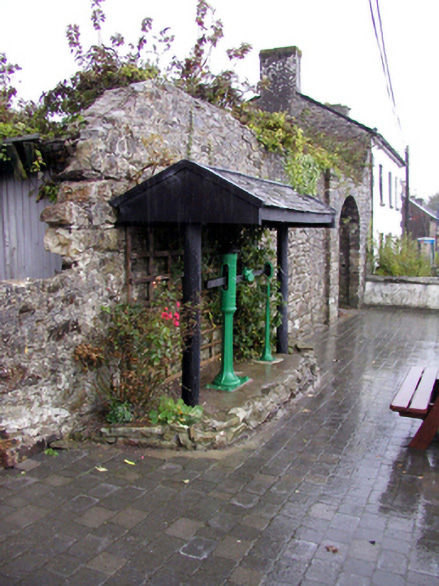 weighbridge/weighhouseweighbridge/weighhouse · 9 yd
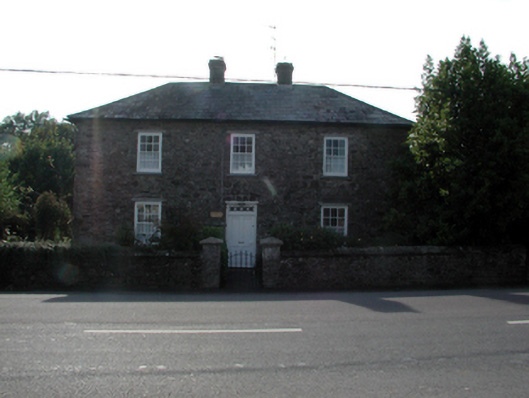 Pilgrims Resthouse · 30 yd
 CastleCastle, tower house · 1067 yd
 Dromona HillMountain / peak · 1485 yd
 Ogham StonesOgham stone · 1726 yd
 Site of Kilteera Grave YardBurial ground · 1729 yd
 (Site of) CastleCastle, tower house · 1.5 mi
 Dromore WoodWood · 1.6 mi
 Bishopstown WoodForest · 3.7 mi
 Lady Louisa's WalkWalking route · 4.8 mi
 Ambrose Power MemorialMemorial · 4.8 mi
 LismoreMemorial · 5.0 mi
Other information
Photo: National Inventory of Architectural Heritage · Website use allowed for educational or private purposes with source credit