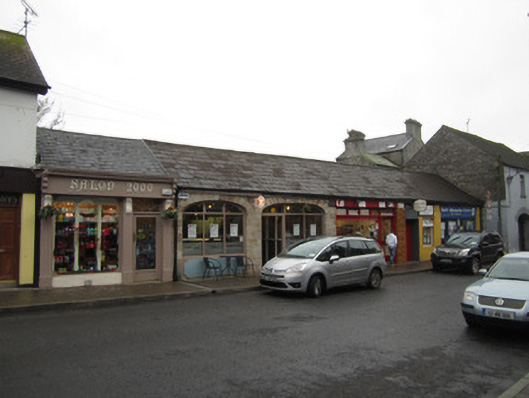
What is recorded here
Multiple-bay single-storey former shambles, dated 1854. Extensively remodelled post-1950 and now occupied by multiple retail, office and restaurant units. Pitched slate roof having ridge tiles, and replacement uPVC rainwater goods. Tooled chamfered sandstone arcade having depressed segmental arches with dressed surrounds and voussoirs, with rubble walling to spandrels. Cast-iron date plaque with crown motif, and lettering '1854' and 'B', set towards centre of row. Arches infilled with shopfronts.
Though much altered, this building's sandstone arcading adds character and interest to the streetscape. It was built by the Bath Estate as a shambles (or slaughterhouse) for the town. Its close proximity to the main street is a testament of the market role of the town and the increased commercial sophistication and specialisations adopted in towns in the latter half of the nineteenth century.
This does not grant access. Most recorded buildings are privately owned; view them only from public ground unless the owner allows entry.
Places near here
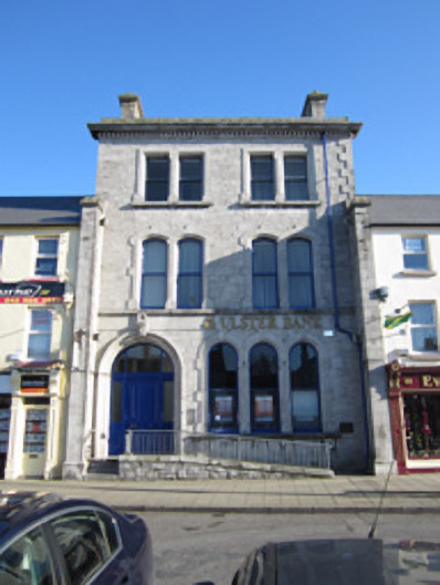 Ulster Bankbank/financial institution · 43 yd
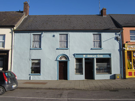 McArdlehouse · 62 yd
 Tober InverHoly well · 368 yd
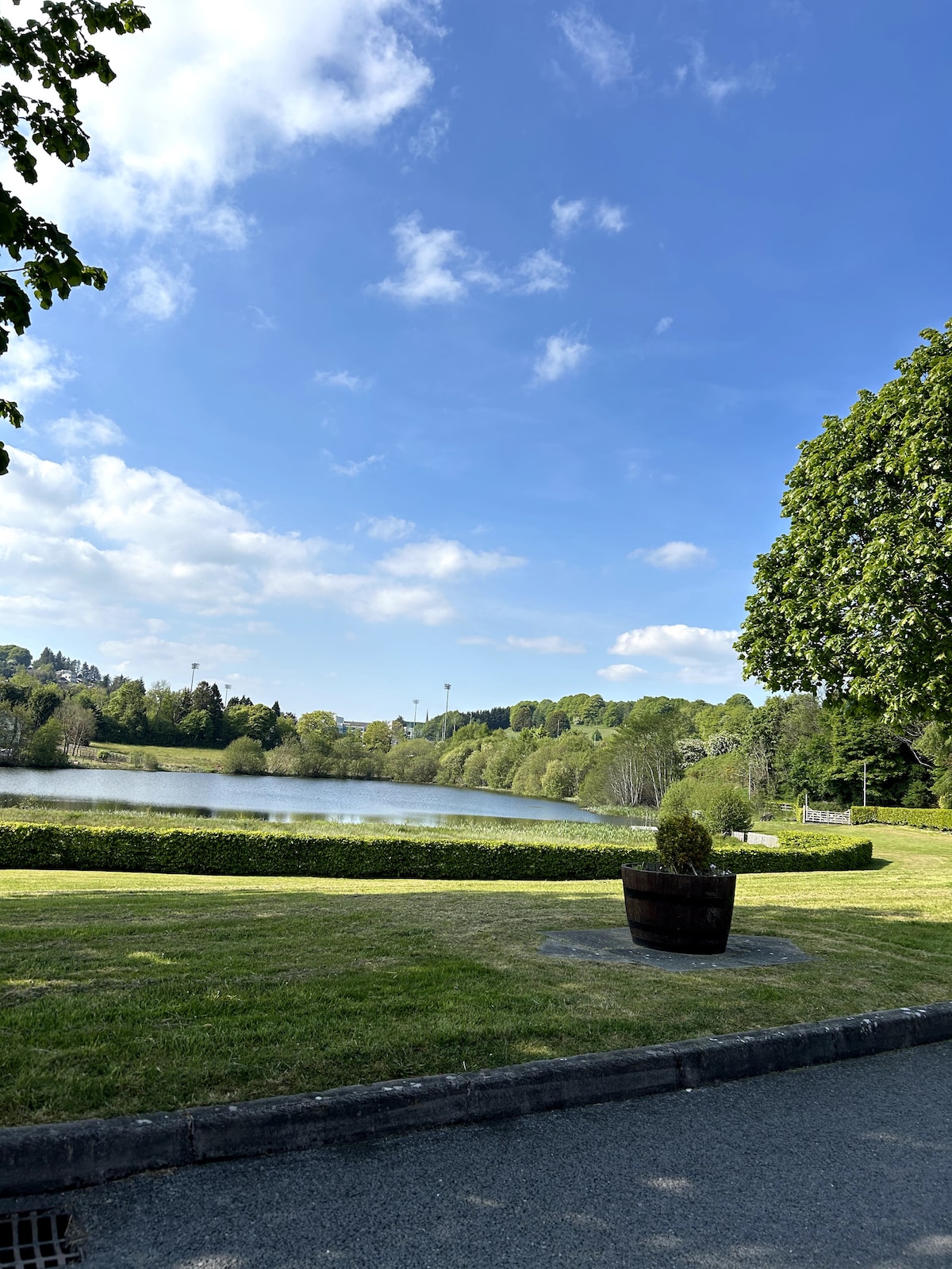 Embanked enclosureFairy fort / earthen ringfort · 389 yd
 Horse-chestnutHorse-chestnut · 1165 yd
 European BeechEuropean Beech · 1695 yd
 Mannan Castle (in ruins)Castle, Anglo-Norman masonry castle · 2.5 mi
 TobernagalliaghSpring · 3.2 mi
 Drumerlough MoreMountain / peak · 4.3 mi
 Flat cemetery in AnnaheanFlat cemetery · 4.5 mi
 BarleyhillMountain / peak · 4.9 mi
 Castle ruinsCastle, unclassified · 5.1 mi
Other information
Photo: National Inventory of Architectural Heritage · Website use allowed for educational or private purposes with source credit