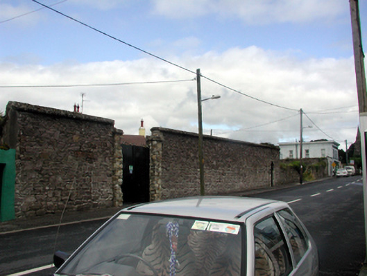
What is recorded here
Section of rubble stone boundary wall, c.1850. Renovated, c.2000, with openings remodelled. Random rubble stone walls with lime mortar partly repointed, c.2000, using cement with cut-stone coping. Outline of square-headed pedestrian opening with red brick ‘voussoirs’. Now filled in with squared rubble red sandstone. Gateway, c.2000, comprising pair of rubble stone piers with rubble stone capping, and sheet-metal double gates. Segmental-headed pedestrian opening to north in rubble stone advanced surround having replacement iron gate, c.2000. Road fronted with tarmacadam footpath to front.
An attractive boundary wall, constructed in a traditional manner, which retains much of its original appearance with the exception of a prominently remodelled vehicular opening. The boundary wall remains an important element of Main Street, and forms an appealing feature in the street scene.
This does not grant access. Most recorded buildings are privately owned; view them only from public ground unless the owner allows entry.
Places near here
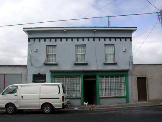 O'Neillhouse · 68 yd
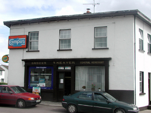 T. Keaverhouse · 97 yd
 Portlaw Heritage CentreMuseum · 156 yd
 Portlaw WoodForest · 1634 yd
 CastleCastle, unclassified · 1.1 mi
 Beallough WoodForest · 1.3 mi
 Rockets Castle (in ruins)Castle, tower house · 1.3 mi
 Donnell's HillMountain / peak · 1.4 mi
 Grave YardGraveyard · 1.4 mi
 Enclosure in GuilcaghEnclosure · 1.5 mi
 Tower HillMountain / peak · 2.7 mi
 Waterford & Suir Valley RailwayHeritage attraction · 4.1 mi
Other information
Photo: National Inventory of Architectural Heritage · Website use allowed for educational or private purposes with source credit