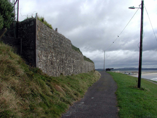
What is recorded here
Section of broken coursed squared rubble stone retaining wall, c.1890, on a curved plan with slight batter having tooled cut-limestone quoins, square-headed door openings with cut-limestone block-and-start surrounds having chamfered reveals, keystone, replacement tongue-and-groove timber panelled doors, c.1990, and stone cobbled coping. Set flanking walk on elevated site.
An appealing feature in the landscape, this section of boundary wall attests to the improvement of amenities related to the development of Tramore as a Victorian seaside resort in the mid to late nineteenth century. The construction in rubble stone assimilates well into the surrounding scenery, while cut-limestone dressings, particularly to the door openings, attest to high quality local stone masonry.
This does not grant access. Most recorded buildings are privately owned; view them only from public ground unless the owner allows entry.
Places near here
 Cannon GunBattlefield · 23 yd
 The Haunted WellRuins · 70 yd
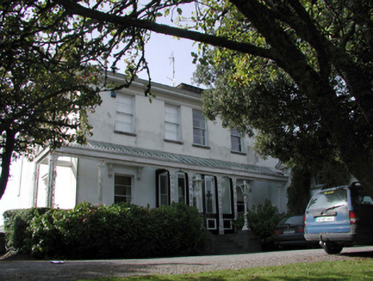 Westparkhouse · 106 yd
 Doneraile WalkWalking route · 263 yd
 Tourist InformationVisitor information · 634 yd
 Tramore Tourist OfficeVisitor information · 748 yd
 Burnt spread in MonloumBurnt spread · 1664 yd
 Tramore Dunes WalkWalking route · 1681 yd
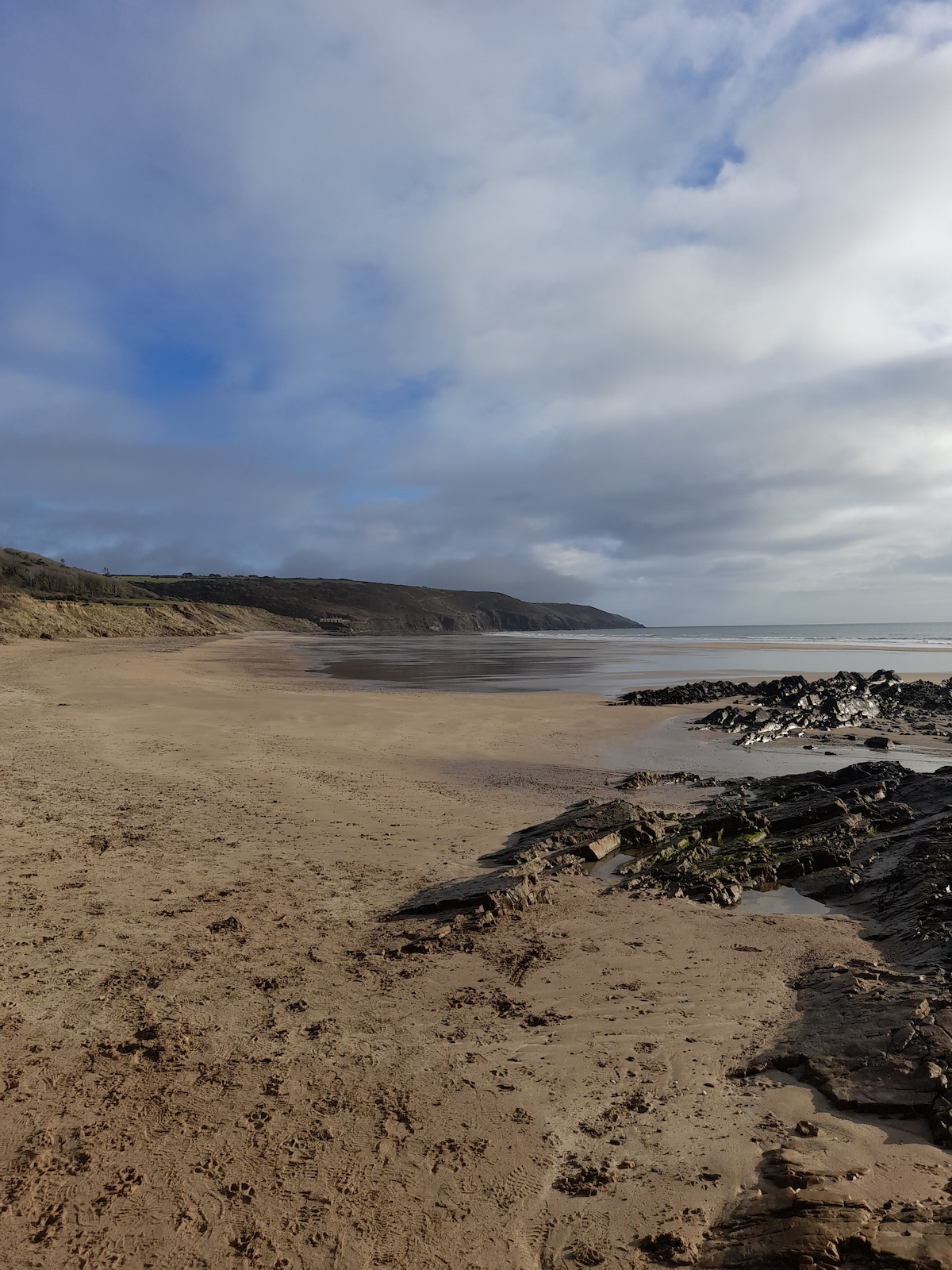 Enclosure in Crobally Upper (middlethird By.)Enclosure · 1706 yd
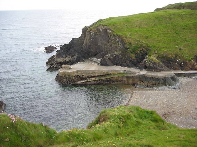 Newtown CoveBeach / strand · 1.1 mi
 Newtown WoodsWood · 1.1 mi
Other information
Photo: National Inventory of Architectural Heritage · Website use allowed for educational or private purposes with source credit