What is recorded here
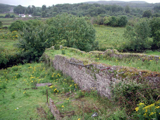
Remains of single-span rubble stone footbridge over river, c.1830. Now disused and derelict with span missing. Random rubble stone abutments walls forming elevated path with rubble stone parapets having cantilevered wrought iron shards, and pair of cut-stone posts to south originally supporting span. Sited flanking Clodiagh Canal on north bank with span originally providing access to Green Island (first model village) to south. Overgrown grass banks to river.
These remains, originally forming part of a footbridge spanning the Clodiagh Canal, are of significance for their original intended purpose, providing access to the first planned 'model' village at Green Island. Constructed in a traditional manner, the abutment walls have assimilated into the surrounding landscape, and form a subtle feature in the locality.
This does not grant access. Most recorded buildings are privately owned; view them only from public ground unless the owner allows entry.
Places near here
 worker's houseworker's house · 109 yd
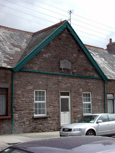 almshousealmshouse · 136 yd
 Portlaw Heritage CentreMuseum · 266 yd
 Portlaw WoodForest · 1605 yd
 CastleCastle, unclassified · 1.0 mi
 Beallough WoodForest · 1.3 mi
 Rockets Castle (in ruins)Castle, tower house · 1.3 mi
 Donnell's HillMountain / peak · 1.4 mi
 Grave YardGraveyard · 1.4 mi
 Enclosure in GuilcaghEnclosure · 1.5 mi
 Tower HillMountain / peak · 2.7 mi
 Waterford & Suir Valley RailwayHeritage attraction · 4.0 mi
Other information
Photo: National Inventory of Architectural Heritage · Website use allowed for educational or private purposes with source credit