What is recorded here
Knocknacarragh stands as one of the last visible strongholds on the western edge, a subcircular enclosure spanning nearly one hundred and forty metres across the summit of Gentian Hill. The earth and loose stone bank remains only from the east to the southeast, while the rest has surrendered to time and weather. This is not a complete ring but a broken arc, a hilltop that kept its shape long after its boundaries disappeared.
On the summit of Gentian Hill, a prominent drumlin jutting out into Galway Bay. Very poorly preserved large subcircular enclosure (D c. 140m) defined by a bank of earth and loose stone from E to SE; no surface traces are visible elsewhere. (GBCAS Files; CUCAP APF, 90)
The above description is derived from the published 'Archaeological Inventory of County Galway Vol. I - West Galway'. Compiled by Paul Gosling (Dublin: Stationery Office, 1993).
Date of upload: 05 August 2010
The monument record does not grant public access. Check the route and ask the landowner before entering private land.
- What survives
- Recorded monument
Places near here
 Seaweed PointIslet · 647 yd
 Small Wood Bird SanctuaryForest · 861 yd
 Cnoc na gCuinínCliff · 948 yd
 Site of Barna CastleCastle, unclassified · 1113 yd
 Coillte Loch RoisínWood · 1138 yd
 Silver StrandBeach / strand · 1180 yd
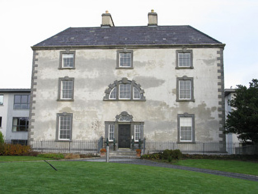 Barna Househouse · 1225 yd
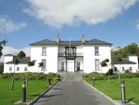 Blackrock Housecountry house · 1375 yd
 Tobar ÉannaMonument · 1456 yd
 ToberendaHoly well · 1473 yd
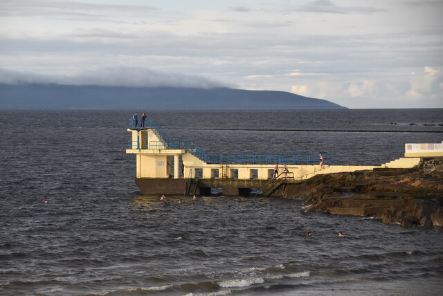 Blackrock BeachBeach / strand · 1650 yd
 Famine Ship MemorialMemorial · 2.0 mi