What is recorded here
In pasture, on hilltop. Subrectangular area (66m N-S; 85.4m E-W) enclosed by partially stone-faced earthen bank (H 2.5m), with infilled external fosse (D 0.2m) to NNE. Gaps in bank to SE (Wth 3.4m) and NE (Wth 4m). Silage pit against outer bank face to NNW; concrete wall and floor to E; roadway to S. Interior level to W; sloping downhill in E half. Possible Man-made underground passage (CO083-036002-) inside bank to S.
The above description is derived from the published 'Archaeological Inventory of County Cork. Volume 3: Mid Cork' (Dublin: Stationery Office, 1997). In certain instances the entries have been revised and updated in the light of recent research.
Date of upload/revision: 14 January 2009
The monument record does not grant public access. Check the route and ask the landowner before entering private land.
- What survives
- Recorded monument
Places near here
 GravesWedge tomb · 1316 yd
 Bridge in DunmarklunBridge · 1602 yd
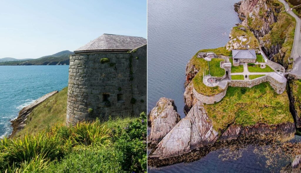 Doona FortFairy fort / earthen ringfort · 1758 yd
 KilnKiln, lime · 1.3 mi
 Summerhouse WoodForest · 1.9 mi
 Castle (Site of)Castle, unclassified · 2.2 mi
 Stephen's WoodForest · 2.7 mi
 Kilmurry WoodsPicnic place · 2.9 mi
 Priest MemorialMemorial · 3.0 mi
 Green HillMountain / peak · 3.2 mi
 Independence MuseumMuseum · 3.3 mi
 Dromcarra Castle (in Ruins)Castle, tower house · 3.6 mi
Other information
Photo: Credit not shown in the picture search · Rights wording not checked; contact us if this picture should be removed