What is recorded here
Hilltop enclosure is a hilltop enclosure in County Galway, Ireland, in Earlspark. It is a hilltop enclosure in County Galway, Ireland, in Earlspark.
On a hill summit in undulating pastureland, overlooking Lough Rea c. 1km to the W. Aerial reconnaissance in October 1984 (ASGAP 193:37a, 38a) revealed a poorly preserved subcircular enclosure (115m N-S; 100m E-W) defined by a low bank from NE through E to SSE and elsewhere by the natural scarp of the hill. A number of field boundaries running NNE-SSW, cut across the monument and another extends from its centre and runs in a WNW direction. The foundations of a circular hut site (GA105-205001-) occupy the centre of the monument, while the remains of a possible house (GA105-205002-) are visible in the S sector. A rath (GA105-080----) lies c. 70m to the E.
Compiled by: Galway Archaeological Survey, UCG
Date of upload: 27 August 2019
The monument record does not grant public access. Check the route and ask the landowner before entering private land.
- What survives
- Recorded monument
Places near here
 Stone Islands SouthIslet · 1191 yd
 Long PointHeadland · 1333 yd
 Saint Brendan's Hospitalworkhouse · 1559 yd
 Hillfort in EarlsparkHillfort · 1559 yd
 Island McCooIslet · 1683 yd
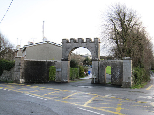 Mount Pleasantgates/railings/walls · 1694 yd
 LisduffFairy fort / earthen ringfort · 1.2 mi
 Ballygasty Castle in ruinsCastle, unclassified · 2.3 mi
 Ballynamantragh CastleCastle, unclassified · 2.4 mi
 Dartfield Horse MuseumHeritage attraction · 3.9 mi
 Turoe StoneHeritage attraction · 4.7 mi
 Scalpeen RockNamed rock · 5.3 mi