
What is recorded here
Hilltop enclosure in Crossbane is a large D-shaped earthwork on a drumlin ridge in County Cavan, marked as a fort and old burial ground on nineteenth-century maps. A dividing wall of boulders cuts across its north-east quadrant, separating what may have been a church and graveyard from the wider rath. The bank still stands two metres high in places, though erosion has softened its edges. Someone lived here, buried their dead here, and drew a line through the middle of the place to mark the boundary between the living and the remembered.
Situated on the spine of a NW-SE drumlin ridge towards the SE end. It is described as a 'fort' and 'Old Burial Ground' in gothic lettering on the on OS 1836 and 1908 editions of the OS 6-inch map. This is a large pear-shaped or D-shaped area (int dims. c. 85m NNE-SSW; c. 72m ENE-WSW) defined by a substantial, although partly denuded, earthen bank (at N: int. H 1m; ext. H 2-2.5m). The NE quadrant is separated from the remainder of the site by portion of a dividing wall (L c. 33m) comprising a single-row of boulders laid end to end extending from the centre. Davies (1948, 115) records that 'The area thus enclosed, hardly a quarter of the rath, is believed to be a graveyard and the site of a church'. Also within the enclosure is the site of a well (CV040-021002-) which has been infilled (local information).
The above description is derived from the published 'Archaeological Inventory of County Cavan' (Dublin: Stationery Office, 1995). In certain instances the entries have been revised and updated in the light of recent research.
Date of revision: 28 August 2017
The monument record does not grant public access. Check the route and ask the landowner before entering private land.
- What survives
- Recorded monument
Places near here
 Holy well in CrossbaneHoly well · 33 yd
 Saint Mary's Catholic Churchchurch/chapel · 518 yd
 Cornaglare or PalmiraMountain / peak · 1.3 mi
 Ardlow National Schoolschool · 1.6 mi
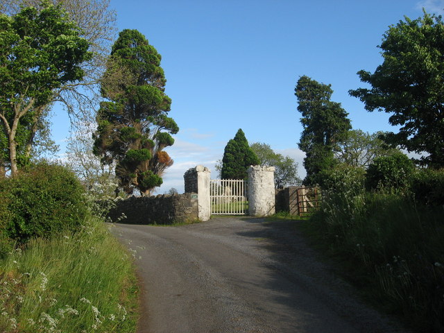 Grave YardGraveyard · 1.7 mi
 EnaghMountain / peak · 1.7 mi
 Birthplace of General Philip SheridanMemorial · 2.4 mi
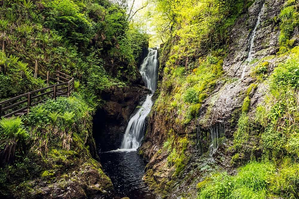 Annagharnet North ForestForest · 2.5 mi
 Sit of Old CastleCastle, unclassified · 2.6 mi
 Tullynaskeagh WestForest · 2.6 mi
 The Big Man's GraveArchaeological place · 2.8 mi
 Carraig-na-SasanacNamed rock · 2.9 mi
Other information
Photo: Credit not shown in the picture search · Rights wording not checked; contact us if this picture should be removed