What is recorded here
Hilltop enclosure, Castlelambert, County Galway: poor circular earthwork, 80m across, on an open hillock. Ash trees hide part of the bank, a drain and small pond mark one side, and a field wall still circles outside. People may have gathered there, kept stock, or simply owned the view before roads and fences changed the hill.
On the summit of a prominent hillock in gently undulating pastureland. Poorly preserved circular enclosure (D c. 80m) defined by an earthen bank and external fosse. The bank, which is planted with ash trees, is visible from N through E to SSE, while the fosse survives from WSW through N to S. From WSW to N it has been widened deepened and straightened off: A drain at WSW leads S to a small pond. A collapsed field wall runs around its outer edge from N to ESE. Two small gaps in the bank at NNE and NE appear modern. A wall cuts across enclosure from N to S marking both the td. and B. boundaries.
The above description is derived from the published 'Archaeological Inventory of County Galway Vol. II - North Galway'. Compiled by Olive Alcock, Kathy de hÓra and Paul Gosling (Dublin: Stationery Office, 1999).
Date of upload: 05 August 2010
The monument record does not grant public access. Check the route and ask the landowner before entering private land.
- What survives
- Recorded monument
Places near here
 Castle (in Ruins)Castle, unclassified · 910 yd
 Castle LambertCountry house · 910 yd
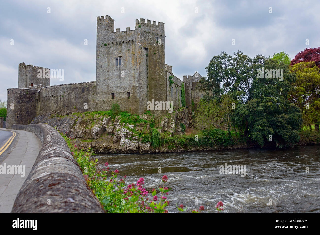 CaherFairy fort / earthen ringfort · 1350 yd
 IndicatedFairy fort / stone ringfort · 1359 yd
 Convent (in ruins)Castle, ringwork · 1.2 mi
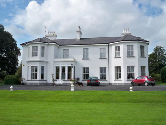 Raheen Househouse · 1.7 mi
 First Battle of Athenrybattle · 2.1 mi
 Horse-chestnutHorse-chestnut · 2.2 mi
 Athenry CastleHeritage attraction · 2.4 mi
 Athenry AbbeyHeritage attraction · 2.5 mi
 The HazelWood · 3.6 mi
 Rabbit IslandIslet · 9.4 mi