
What is recorded here
In wet pasture on the SW edge of a NE-SW ridge overlooking Ballynahinch Lough to WNW and Lough Bridget to S. Noted by Emmet Byrnes, Forest Service on Bing satellite imagery and on OS orthophotography. A suboval earthen platform (ext. dims. c. 60m E-W; c. 52m N-S: int. 50m E-W; 40m N-S) defined SE to NW by a low scarp (max. H 1m at S) almost imperceptible at N. A mature straight NNW-SSE field boundary extends along the E side. A possible entrance (Wth 1m) at W has a large stone on its E side. A fosse (Wth c. 5m) visible on satellite imagery is not visible at ground level. The walled garden of Ballynahinch House is c. 70m to the SW and the area around the enclosure is named ‘Cloonacullaun’ on the 1840 OS 6-inch map and ‘Garden Hill’ on the 1920 edition. Some possible tree rings are indicated NE of the enclosure but the enclosure itself is not indicated as a landscape feature. This monument was reported to the National Monuments Service by Séamus Ó Murchú.
The following image has been uploaded:
CL036-048----_01.jpg Enclosure visible on Digital Globe.
Compiled by: Mary Tunney
Date of upload: 16 November 2020
The monument record does not grant public access. Check the route and ask the landowner before entering private land.
- What survives
- Recorded monument
Places near here
 Ballynahinch Castle (in Ruins)Castle, unclassified · 536 yd
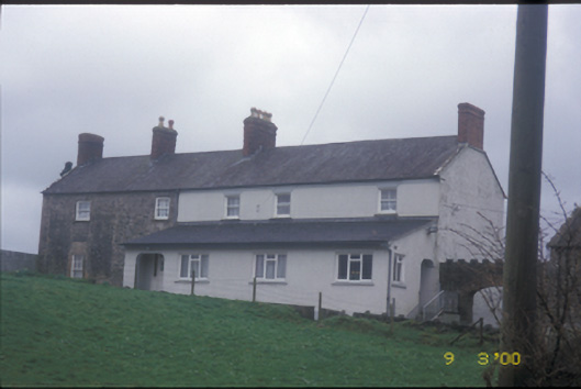 Derrymore Housecountry house · 821 yd
 Cladh na GaillHilltop enclosure · 1038 yd
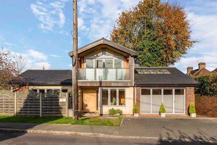 Enclosure in SilvergroveEnclosure · 1451 yd
 Castle (in ruins)Castle, tower house · 1.6 mi
 Killuran Church (in ruins)Church · 2.0 mi
 Deerpark WoodForest · 3.8 mi
 Calluragh WoodForest · 4.2 mi
 DoonHeritage attraction · 4.3 mi
 The StablesGallery · 4.3 mi
 Cloghleagh RockNamed rock · 6.3 mi
 MagheraMountain / peak · 7.1 mi
Other information
Photo: Credit not shown in the picture search · Rights wording not checked; contact us if this picture should be removed