
What is recorded here
Map note: Hill fort rampart appears on the map as an ancient site near Nerston Village, South Lanarkshire, Scotland. See what else is recorded around this spot before making up the rest.
From OpenStreetMap (© OpenStreetMap contributors) n4988507922
Places near here
Photo credits
- Maker not stated on source page, www.flickr.com
- Robert Murray, Wikimedia Commons · CC BY-SA 2.0
- Maker not stated on source page, commons.wikimedia.org
- Maker not stated on source page, uk.pinterest.com
- Maker not stated on source page, bojkot.livejournal.com
- Maker not stated on source page, www.tripadvisor.co.uk
- Maker not stated on source page, www.last.fm
- wrobison, Wikimedia Commons · CC BY-SA 2.0
- Stephen Sweeney, Wikimedia Commons · CC BY-SA 2.0
- Maker not stated on source page, www.absoluteescapes.com
 Prehistoric linear earthworkArchaeological place · 84 yd
 Stoneymeadow Road, General's BridgeBridge (18th Century) · 774 yd
 East Kilbride, Maxwellton Road, Baptist ChurchChurch (late 20th Century) · 902 yd
 East Kilbride, Calder Glen, Craigneith CastleCastle (medieval) · 1015 yd
 Craigneith CastleCastle · 1023 yd
 East Kilbride, Brancumhall Road, St Leonard's Roman Catholic ChurchChurch (20th Century) · 1058 yd
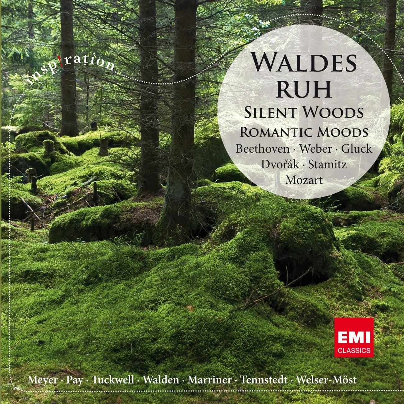 Silent Woods (fragment)Wood · 1282 yd
 Glen Esk Urban GreenspacePark · 1282 yd
 Sandy BaysBeach / strand · 1679 yd
 AuchentibberWood · 1744 yd
 East Kilbride, NerstonNo Class (event) · 1.0 mi
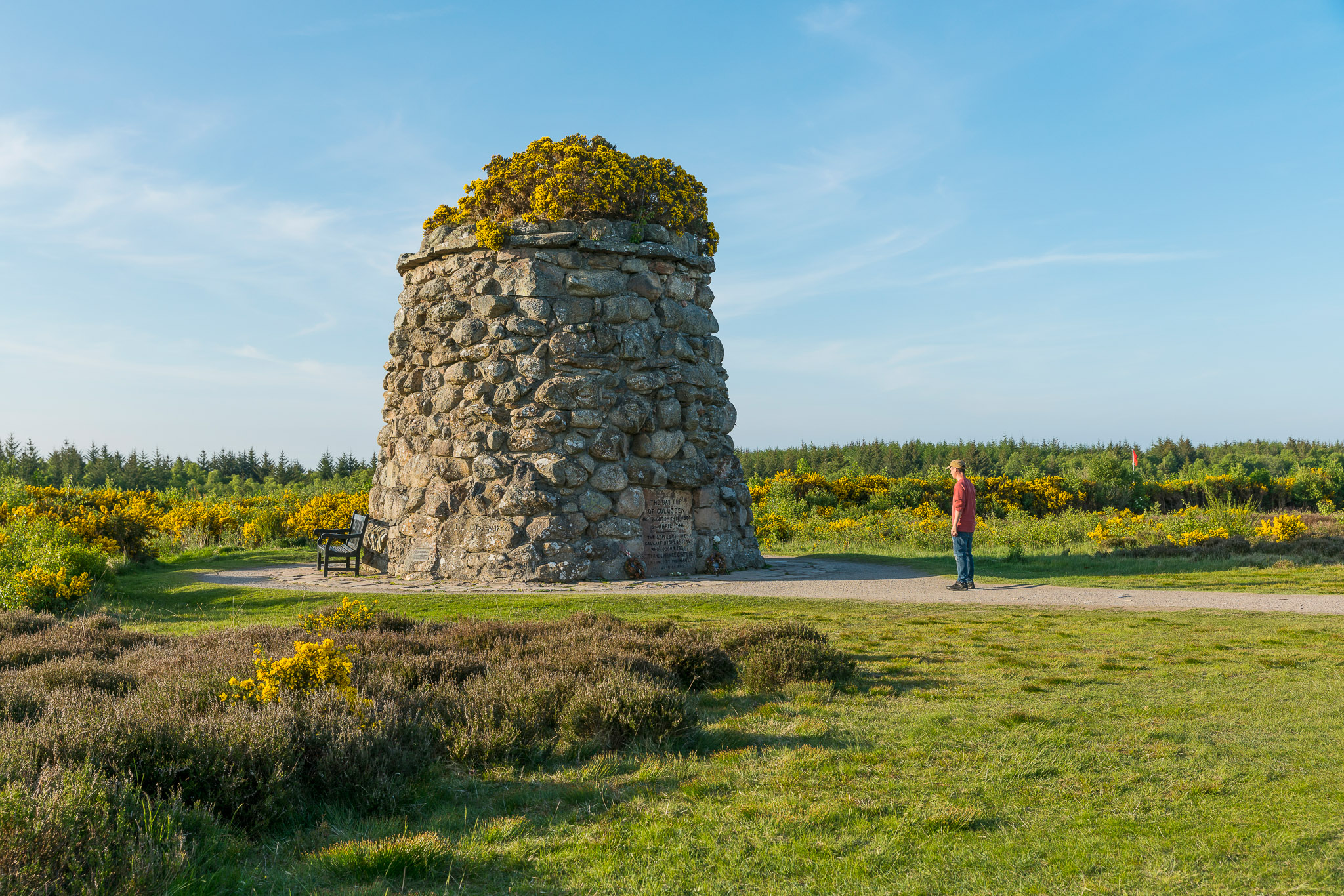 Anne Kneilands Cairn MemorialMemorial · 1.0 mi
More archaeology and monuments in South Lanarkshire · All of South Lanarkshire

What do you know about this place?Tap to add a comment or ask a question