What is recorded here
Observation point of Hector's Bird geoglyph. The artwork in the facing field slope recreates a drawing by Hector of a bird in flight.
This does not grant access. Check current paths, opening conditions and ownership before entering.
Places near here
 Drumour BridgeRoad Bridge (period Unassigned) · 483 yd
 Ballinloan FarmFarmhouse (period Unassigned), Farmstead (period Unassigned) · 859 yd
 BallinloanCup Marked Stone (prehistoric) · 1044 yd
 Logie BurnCairnfield (medieval) - (post Medieval), Rig and Furrow (medieval) - (post Medieval), Track(s) (medieval) - (post Medieval) · 1.2 mi
 Falls of the BraanWaterfall · 1.7 mi
 Torchuaig HillMountain / peak · 2.0 mi
 Dunkeld, the Hermitage, Ossian's CaveFolly (18th Century) · 2.3 mi
 Pine Cone PointViewpoint · 2.5 mi
 Falls of BraanWaterfall · 2.5 mi
 Ossian's HallVisitor information · 2.6 mi
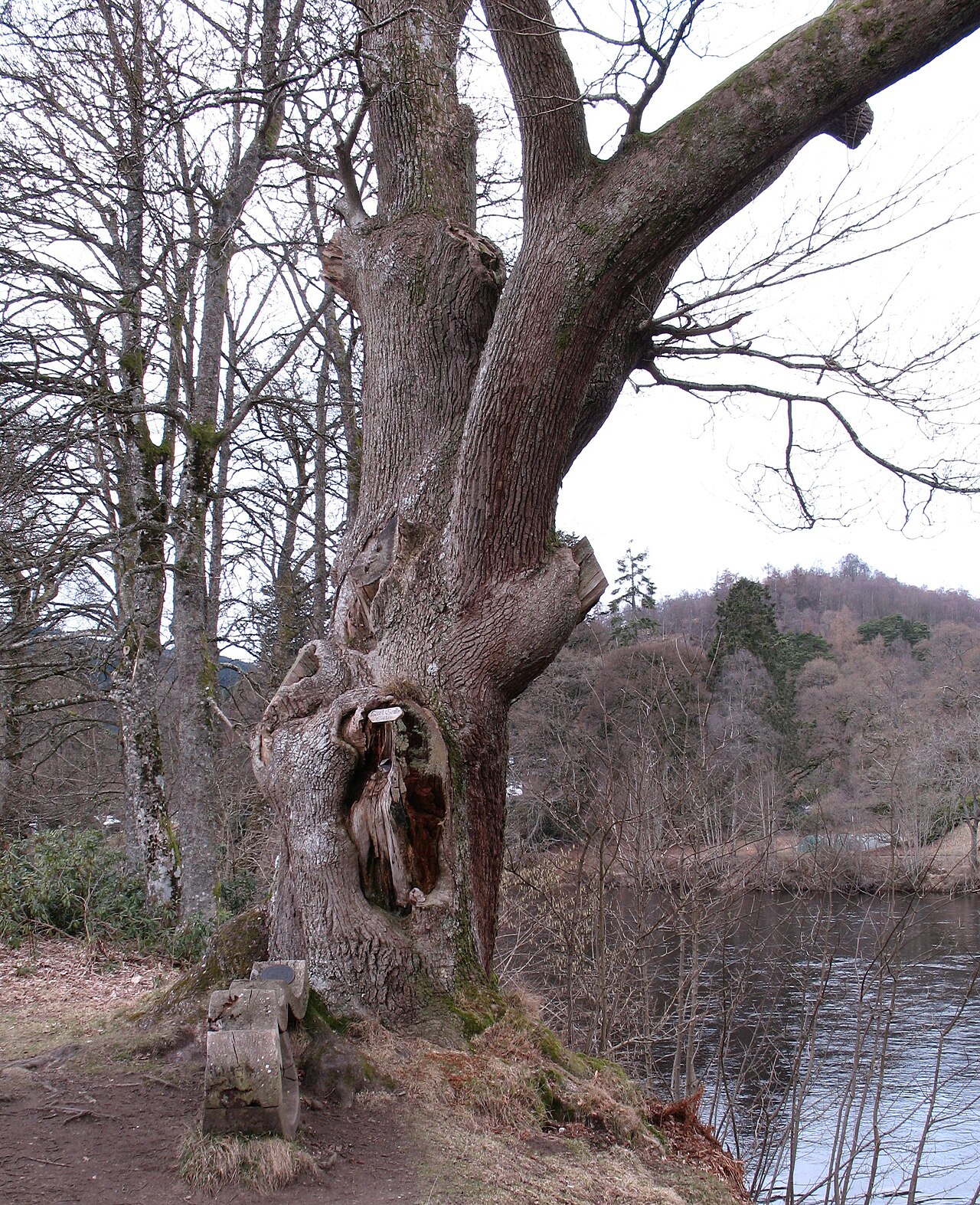 Niel Gow's OakOak · 3.0 mi
 Ben SalachillMountain / peak · 3.1 mi